Category Archives: cruises

Southbound in Johnstone Strait

Our trip south back to Desolation Sound was quicker and less difficult than our trip north through the tidal passes. This was to be expected since going south on this route you usually have the wind at your back. For this reason we took Johnstone Strait the whole way, rather than dealing with timing the rapids at four tidal passes on the back route. We still had to time currents at Race Passage / Current Passage, but were fortunate the wind wasn’t even blowing the day we went through there.

That’s not to say it was without challenge though. Our most harrowing, dangerous moment came as we were racing downwind in Johnstone Strait pulling into our anchorage for the night (Mary Island, off of Sunderland Channel and Fanny Island). The winds had picked up to 25 gusting to 28, and the seas had risen to a 3 foot chop as the current rushed with us at peak flood. We still had the full main up, with no genoa – we should’ve reefed the main, but the wind had risen quickly and we figured we could ride it out since we were 30 minutes from the anchorage.

I had hoped the anchorage would provide some protection from the wind so we could do the mainsail takedown in there, but the anchorage was small and the wind was gusting into it too. We soared into the tiny bay at 6-7 knots and then turned into the wind, cranking the engine up to counter the 25 knot winds and surging waves. There were rocks to our starboard, rocks to port, and an island behind us. We did a fast drop, and got the main down okay – everything was fine after that, but it was one of those moments you remember forever.

IMG_3319

Sailing wing on wing in Johnstone Strait in about 15 knots

Continue reading

Cruising the Broughtons

Green. Green and more green; and sometimes blue and white, when the sun emerges revealing blue sky and fluffy white clouds. But mostly what we see in the Broughtons is green – in the dense trees surrounding us, and in the water too – taking on a deep emerald hue caused by the reflection of so many trees.

There must be something about the color green that connects to the human soul – a color meaning peace, tranquility. Here in the Broughtons the blue and white aren’t always present, but the green always is. It’s hard not to feel like we’ve found a special place.

The Broughtons were our last major goal for this summer’s trip. We’ll spend a few weeks here, and then can turn around and leisurely make our way back to Seattle with the remaining month and a half (spending more time in Desolation Sound – which we rushed through a bit on the way up – and visiting Vancouver and Nanaimo).

IMG_3237

IMG_3270

Our 2nd black bear spotting, in Shoal Harbor. I had to dinghy closer to get a decent picture. This guy seemed a bit small to me – maybe an adolescent?


Continue reading

Exploring Queen Charlotte Strait

After reprovisioning in Port McNeil, we had mild southerlies predicted for a few days, so we decided to use those winds to go further north – past the Broughtons and towards Cape Caution and Port Hardy. We went to Blunden Harbor for two nights, Miles Inlet for two nights, and then back across the strait to Beaver Bay which is around the corner from Port Hardy. Then we crossed the strait again to Wells Passage and the Broughtons.

We’re over a month into our 3-month trip now, and realizing how long a time that really is. So much has happened in a month that sometimes it’s hard to believe we have two more of those. On a 2 week or 4 week trip it’s possible to ignore some hardships and just deal with it. When it’s 3 months, you can’t ignore the little hardships of cruising as much – they’re part of your everyday life, so you need to find a sustainable pace. And not every day has good weather – we’ve been finding a lot of almost Alaska-like weather for July – chilly, overcast, and off-and-on rainy.

One thing we’ve been surprised with is how many more powerboats than sailboats there are up here. There are at least twice as many powerboats as sailboats in most anchorages, but in some places it’s closer to 10 to 1 (in our current anchorage we have 9 powerboats and we’re the only sailboat). It makes sense though – the Broughtons and beyond are a long trip from the Northwest boating centers, and powerboats can make the trip quicker than sailboats – which gives them broader range. Since what most boaters are shortest on is time, that means more powerboats reach the more remote areas.

IMG_3144

Exploring Miles Inlet by dinghy

We met a sailor single-handing a Contessa 26 (sailboat) in Shoal Bay, and have been running into him often since then – at Port McNeil, at Blunden Harbor, and at Cypress Harbor. Hannes is really serious about sailing – he uses less fuel than probably your average suburbanite’s lawn mower, and will patiently spend hours drifting in a 2 knot wind. He stores his bananas in the bilge because he has no refrigeration. It’s one of the things I love about cruising – we all have different ways of getting here, but everyone gets to enjoy the same beautiful views. The water is a great equalizer.

Continue reading

Desolation Sound to the Broughtons: Route Planning and Sailing Challenges

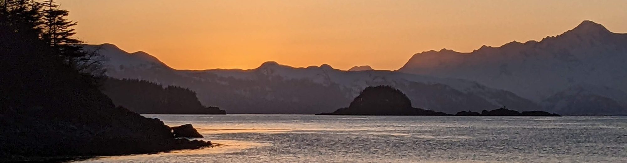
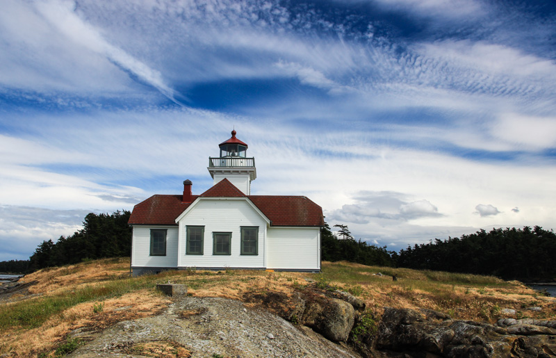
In the last week (July 3-8) we’ve made it from Desolation Sound to the Broughtons, passing through the last major hurdle of our trip – four tidal passes (where rapids can form), parts of the notorious Johnstone Strait with its high winds and challenging tide rips, and many kinds of weather including northerlies, southerlies, and rain. In a way it felt like we’d run the gauntlet, in terms of encountering a new sailing challenge or weather condition every day.

We were never bored, and if we had done this with less experience (ie, a year ago), we probably would have been often scared. But thanks to more experience and preparation, things overall went really well.

This post will be mainly about our route – and fairly technical (more of interest to other sailors planning to do this passage). Our route is certainly not the only one possible and many choose to do it differently, but I figured the reasoning behind our routing might be interesting. In researching beforehand I hadn’t been able to find many accounts of people’s actual routing choices in cruising guidebooks or blogs.

IMG_3075

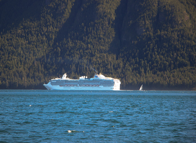
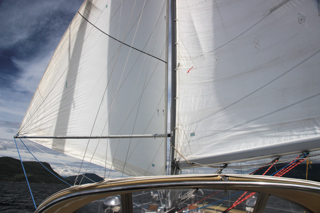
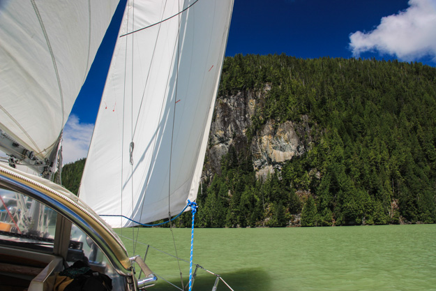
A view from Port Neville. Yes there is a sailboat (flying genoa only) behind that cruise ship. Really puts into perspective how big the cruise ships are.

IMG_3063

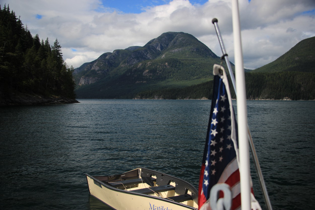
Celebrating the Fourth of July in Forward Harbor

Tidal Currents

Understanding tide and currents is important anywhere in BC or the Puget Sound, but going through the rapids on the back route to the Broughtons, or through Johnston Strait, it becomes much more important. This is still one area we struggle with sometimes. The currents often seem to be doing different things than what the tide tables and current stations say they should be doing. The tidal movements in this area are extremely complex – in Johnston Strait you can have surface ebbs while a flood is going on, or it could be flooding on one side of the strait while it’s ebbing on the other side. And if you miss slack at a rapids by just 30 minutes it could already be moving at 2 knots; miss it by an hour and it could be moving at 5 knots.

Here’s an example of a typical route planning question we have to determine the answer to: If you need to sail 10 miles north in Johnston Strait with a 15-25 kt wind blowing from the north, would you go when the current is flowing north (ebb) or when it’s flowing south (flood)?  I thought the right answer was the ebb. While current opposing wind (current going north, wind going south) is well known to be a recipe for short waves and tide rips, surely that would be better than bucking a 3-5 knot opposing current?  Going against current could slow us to a crawl. Since the typical 38-foot sailboat can only do 6 knots into a 20 knot headwind (motoring; and less when sailing, considering VMG to the windward destination), a 5 knot opposing current can slow you down to 1 knot – it would take 10 hours to do 10 nm.

After experiences in Johnstone Strait on an ebb with a northerly, I’m not so sure. The current opposing wind created short, sharp waves, especially in the tide rip areas, and these waves slowed us down by a knot anyway, in addition to making things really uncomfortable. And although the current predictions said there should be a 3 knot current, we only experienced about 1 knot of current. This was a lesson we took away – that current against wind trumps going with the current. At least in Johnstone Strait.

Continue reading

Sunshine and Inner-Tubing in Desolation Sound

This Monday (June 27th) we sailed into Desolation Sound with the sails wing-on-wing, a gentle breeze from the southwest pushing us towards Sarah Point. There couldn’t have been a more picturesque way to arrive in Desolation Sound, with snow capped mountains unfolding before us. Reaching Desolation Sound was the first major goal of our summer cruising plans. So far this area is proving why it is so deserving of its reputation and popularity.

IMG_2999

We’ve had surprisingly good sailing, this whole trip in fact. Other than the trip up Jervis Inlet to go to Princess Louisa, we’ve had fewer than 2 days (out of about 20 days) with no sailable wind. It’s funny because the reason I was in favor of doing the west coast of Vancouver Island last year was primarily because I had heard the inside route (to Desolation Sound) lacked wind and not much sailing could be done. But this year we’ve sailed far more than we did last year. We’re sailing so much that we’ve barely used 30 gallons of diesel, since leaving Seattle three weeks ago. Perhaps we just know the boat better and have worked out the right rhythm – short hop trips and flexible timing based on the weather – but I’m kind of  surprised our formula for being sailing cruisers is actually working.

IMG_2963

Continue reading

Mosquito Hunting On The Sunshine Coast and Desolation Sound

“There’s a mosquito on your head!” said Natalie. “Where?” I replied.

“On your forehead.”

“Oh, really?”

“Yeah, it’s going to bite you.”

We’ve found a new game as we approach Desolation Sound – mosquito hunting. On a good night (bad night?) my kill count approaches a dozen. The two anchorages we’ve been in – St Vincent’s Bay in Hotham Sound near Jervis inlet and the Copeland Islands (north of Lund) – both had an army of hungry mosquitoes waiting for us as soon as we arrived.

Since we don’t have mosquitoes in Seattle, I had forgotten how annoying they can be. On a boat, there’s no where to run; you can hide, but they will find you. The mosquitoes sneak in through open hatches as soon as you arrive. “Dinner!” they must be thinking. We then closed the hatches, but that makes the boat extremely hot. We have bug spray, a bug net to drape over a hatch, and a citronella candle. These help only a little bit.

IMG_3028

Continue reading

Our Trip to Princess Louisa Inlet

I wasn’t going to write about Princess Louisa because the saying is that everything that could be written about it, already has been. Perhaps that is true, but I’m not so sure. Primarily this will be a pictorial post, so skip to the end if you just want the photos.

IMG_2900

It might sound like blasphemy, but for us Princess Louisa wasn’t the heaven-like wonder some had described it as. Maybe it was because we had low cloud cover (~1000 foot level) and never saw the full experience. But we didn’t think Princess Louisa was fundamentally different from many of the other cruising destinations we visit in BC. There are a ton of off-the-beaten track anchorages with amazing scenery and a special connection with nature. This is what cruising is all about. Princess Louisa was simply another version of that – perhaps scaled up by a degree.

Continue reading

Hiking Mt Norman Leads Us To A Panoramic View of the Gulf Islands

As we huffed and puffed up the steep climb, we said to ourselves, “This had better be worth it!”  It was only a 1.8 mile (2.9 km) hike – 3.6 miles roundtrip –  but with 800+ feet (266m) elevation gain, and we hadn’t done any real hikes in a while. It was hot out, and we hadn’t brought enough water – from the San Juans we’d grown used to island hikes being short and easy.

Mt Norman is on South Pender Island, our first stop in Canada after crossing the border from Friday Harbor on Sunday. Our Nexus passes had made customs checkin a breeze – we called in, got our clearance number, and did a touch-and-go on the customs dock (if there are no customs agents, with a Nexus checkin you don’t have to stay).

As we rounded the last corner of the hike, we came to a viewing platform with a 180 degree view of the Gulf Islands stretching out before us. It was a beautiful day, and all I could think was wow, the hike was definitely worth it! The photos don’t really do it justice because unfortunately I can’t stitch together my panoramic photos since I forgot to download a panorama program before leaving Seattle, and don’t have Internet in the South Pender anchorage.

IMG_2838

       IMG_2851

Continue reading

Tricky Anchoring at Patos Island, San Juans

This week we’ve felt like we were running before the storm – the weather forecasts have often been pretty pessimistic. One forecast was for “rain, 15-25 knot winds, possible thunderstorms, and a chance of hail.” But somehow we’ve managed to do short sails between islands in the gaps between bad weather, and the weather also hasn’t been as bad as forecast (no hail or thunderstorms).

After Sucia, we spent a night at Patos Island and then moved on to Prevost Harbor at Stuart. More on those below.

IMG_2795

The postcard perfect lighthouse on Patos Island

Continue reading

Matts Matts Bay and Watmough Bay

In the last three days we’ve gone from Seattle to Matts Matts bay, to Watmough Bay in the San Juans, and then on to Sucia Island. We had forgotten how amazingly beautiful the San Juans are – they really are a Washington state treasure. Everywhere we look are scenic mountain ranges, evergreen covered islands, blue skies (sometimes), and wild life. Our journey is only just beginning, but it already feels like we’re a world away.

From a sailing perspective the most amazing part is we’ve sailed most of the way and haven’t had to sail upwind even once – when there has been wind, it’s been at our backs. We’ve been riding a wave of southerlies north. That hasn’t meant it’s been easy – there have been a few challenging times as we’re getting back into the routine of cruising.

IMG_2777

Looking out on Fossil Bay on Sucia Island

Continue reading