Monthly Archives: July 2019

Nootka to Barkley Sound: Final Legs of our West Van Isle Trip

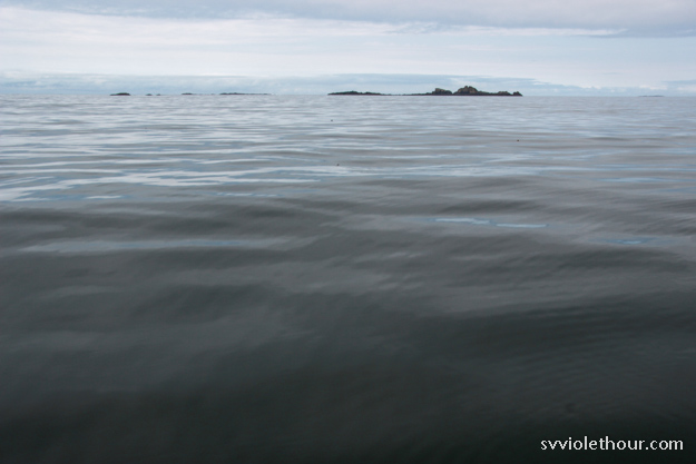
In the last week (July 13-20) we’ve sailed from Nootka Sound to Clayoquot Sound and then on to Barkley Sound, the last stop on our trip down Vancouver Island. As we left Clayoquot Sound on July 18, summer finally showed up and we’ve had northwest winds with sun and blue skies most of the time since then. We’ve still had some rainy southerlies sweeping through about every 4-5 days, but they’re usually short-lived.

Needless to say we’re reveling in the summer sailing experience now – shorts and t-shirts, ample solar power for cold beverages, paddleboarding, swimming, and rigging up the hammock between mast and forestay.

Rounding Estevan Point: Nootka Sound to Hot Springs Cove

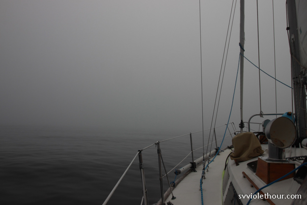
Getting out of Nootka Sound is always hard. The entrance to the sound is shaped like a funnel, and it funnels both wind and current at the constriction point. Westerly ocean swell tries to roll into the entrance, and with an opposing ebb current the waves can get quite steep and sharp. And going out is always an upwind sail, because the wind inflows.

Fortunately we had a pretty good day for it, with light south wind (8-10 kts) – which comes pretty much from the west until you make Estevan Point. The waves were choppy and pound-happy but we had timed our departure to near slack current so they weren’t nearly as bad as they could be.


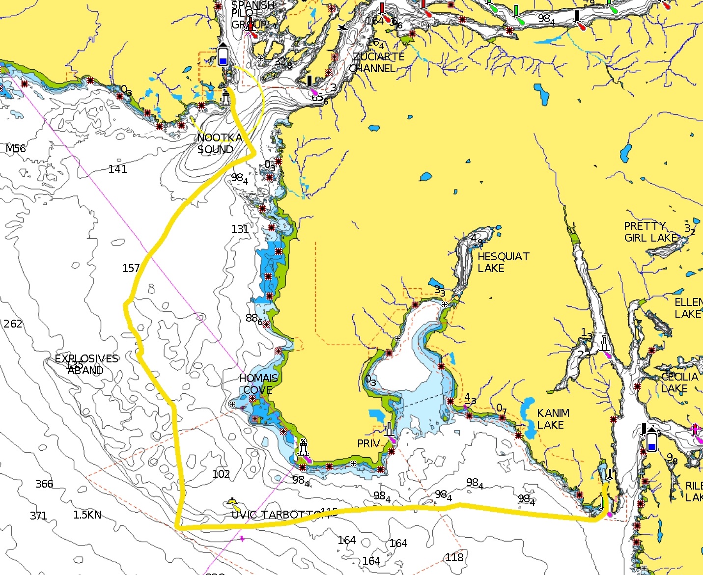
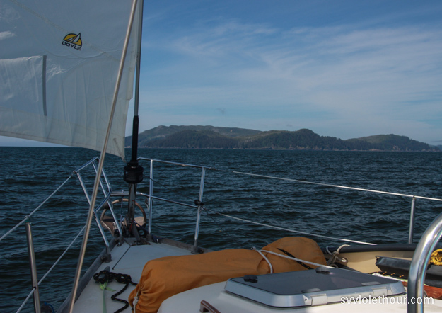
It was a long day (~9 hours) but a fun one. We think we saw an ocean sunfish near Estevan Point. They’re a very rare creature that we’ve never previously seen. They can grow quite large and have two fins, which wave alternately above the water.

Continue reading

Windless Days and Southerlies on the West Coast of Van Isle: Strange July Weather

After passing the Brooks Peninsula on June 30, July has brought very weird and challenging weather. It doesn’t feel like summer, and we’ve gone many days not even seeing the sun, because it’s obscured behind a heavy cloud layer. We’ve had rain about half the days; normally in Seattle we count on summer arriving after the 4th of July, but that hasn’t seemed the case on the west coast of Vancouver Island.

The weather varies between chilly to warm and very humid (90% humidity). The humid days are completely overcast, darkening the sky and reducing solar output. It feels like a Hawaiian rainforest, but without the sun. Other times, the temperature has been chillier than we had a month and a half ago, in late May on the Central Coast. We’ve been wearing foulies and fleeces in July, which seems very weird.

BC weather forecasting says there’s a ridge offshore and a quasi-stationary trough over the mainland, but I don’t know if that explains things or not. Someone we met at Nuchatlitz said there’s an inversion going on, which explains things a lot better (we’re quite familiar with inversions in Seattle, but they usually happen in the spring or fall, not summer!). An inversion, as I understand it, means warmer, clearer air is stuck above a dense cloud layer. People at ground level (ie, anyone on a boat) experience dark, chilly conditions, but if you could hike up 5000 feet or so you’d get to nice sunny conditions. It also means little wind – if there were wind, it would blow out the inversion.

The lack of wind has been the most frustrating part. It’s almost like we’re in the doldrums, the ITCZ, or the South Sound in August. Our last 4 days in Kyoquot Sound didn’t have a single hour with wind over 5 knots. And when we “sailed” to Esperanza Inlet on a forecast of NW 5-15, we had to motor pretty much the whole way because there wasn’t more than 4 knots on the ocean the whole day.

Another rainy rainy day.

[This post covers July 7-12, 2019]

Continue reading

Exploring the Beautiful Anchorages of Kyoquot Sound on the West Coast of Vancouver Island

Kyoquot Sound is the second sound on the northwest coast of Vancouver Island, after Quatsino Sound, and is the place of refuge after the Brooks Peninsula. We’ve spent almost a week here, discovering some beautiful anchorages – the highlights being Columbia Cove and the Bunsby’s.

We continued to see sea otters, including the first raft (group of 20-30) we’ve spotted. And Kyoquot is the first place I’ve seen bat stars, a sea star that is black in color (almost an iridescent blackish-purple) – there were lots in the Bunsbys and also Walter’s Cove. Mosquitoes are also present in all the anchorages here, so make sure to have good hatch nets.

We spent all our time in the outer waters of Kyoquot Sound – technically not within the sound itself (Columbia Cove > Bunsbys > Walter’s Cove > Barter Cove > Rugged Point). We read that Kyoquot Sound itself rarely gets much wind, so it’s probably not a good region for sailing. The anchorages of the outer region are rugged and beautiful, with several of them having views out to the Pacific Ocean. We tend to like the rugged outer anchorages, and found they made for great exploring by dinghy or paddleboard.

[This post covers June 30 – July 6, 2019]

A bat star

Continue reading

A Perfect Sail Around The Brooks Peninsula and Cape Cook

To a sailor there’s nothing more exciting than feeling the boat power up in a strong breeze. The boat digs in to the swell and takes off, using only the power of the wind. Everything is in harmony – the rig, the sails, the rudder. At times like these one of my favorite things is to go below. Listening to the sound of water rushing past the hull always brings forth a sense of wonderment.

In a book I’m reading, “Alone Together” by Christian Williams, he puts it aptly: “To sail a boat across water using only the wind is like a miracle, every time. The wind is free and gives its gift not just to you but to the waves and the sky, the clouds and the birds, who all move with it, day and night.”

Our rounding of the Brooks Peninsula was just about perfect, and we couldn’t have asked for a better day. It was a combination of patience and luck – patience for waiting out persistent southerlies and rain, and luck that all the variables aligned. A forecast of NW 10-20, low swell state, and a warm sunny day.

The distinctive Solander Island is just a bit offshore of Brooks Peninsula, and has a wind reporting station.

The Brooks Peninsula, and Cape Cook at its northwesternmost point, jut out about 8 nautical miles into the Pacific Ocean, the largest promontory of Vancouver Island. The Brooks Peninsula is  feared and respected by mariners because it creates a powerful wind acceleration zone and also potentially confused seas from headland interactions and up to 1.5 knots of current flowing by.

Our guidebooks said that Cape Cook is the most difficult obstacle of a circumnavigation of Vancouver Island. With the ideal conditions though, it was one of our easiest sails. I can certainly imagine it being tough though – it’s common to hear a forecast for W Van Isle N of NW 15-25 except NW 25-35 at the Brooks Peninsula.

Continue reading

Sea Otter Cove to Quatsino Sound

Upon departing Sea Otter Cove, we had 18 nautical miles of ocean coastal sailing to do, followed by 3-4 nm into Quatsino Sound. After a lot of motoring to get to Cape Scott, we were hoping to sail all of the 18 nm. But it was not to be.

We had a very confusing forecast (it changed four times, pretty much every 3 hours), but the latest was S 15. We can sail upwind fine in 15 knots, so we left in the morning with about S 4-7 up, sailing at 4 kts for a couple hours in gentle swell. Then the fog set in and the wind disappeared. It was some of the densest fog we’ve seen, reducing visibility to near nothing.

No fun. Fog is very tiring because you have to keep a constant watch – even though we were running radar, at any moment a small fishing boat or log could pop out of the fog.

So we ended up having to motor about 2/3’rds of the way to North Harbor, our anchorage in Quatsino Sound. So far my fear of going to the west coast equaling having to motor more has been looking true. In the two days from Bull Harbor to Quatsino Sound, we motored 7 hours, which is more than we typically motor in a week. We’re keeping our fingers crossed for better sailing soon though.

[This post covers June 26 thru June 30, 2019.]

Continue reading

Sailing Around Cape Scott, the Northwesternmost Cape of Vancouver Island

As we sailed past Cape Scott, the northwesternmost cape of Vancouver Island, a mix of elation, relief, and “is-that-it?” filled our heads. The passage we had worried about for so long ended up being kind of easy, and about half fun / half boring. That’s pretty typical of cruising though – things are never exactly what you expect, and they’re rarely perfect.

In a way, we’d been trying to get to Cape Scott for 10 days – but it also was a dream we’d had for at least a year. Rounding Cape Scott marks the beginning of our first full circumnavigation of Vancouver Island (although we’ve done 75% of it already during other cruises).

To be honest we almost bailed on our west coast plan again this year. Our plan was always “probably, maybe” and the awful swell against current that we hit in Hakai Pass in June very nearly deterred us. It was a reminder we don’t like sailing in PNW ocean swell, because the confused swell often destroys sailing ability if the wind is below 10 kts. And ocean swell here is rarely true ocean swell; it’s generally a worsened form – sharpened by currents, headlands and shallows.

But many, many people sail (or motor) around Vancouver Island, and we realized we could probably do it without too much misery – we just needed to be smart and wait for the right forecasts.

Continue reading