Our trip south back to Desolation Sound was quicker and less difficult than our trip north through the tidal passes. This was to be expected since going south on this route you usually have the wind at your back. For this reason we took Johnstone Strait the whole way, rather than dealing with timing the rapids at four tidal passes on the back route. We still had to time currents at Race Passage / Current Passage, but were fortunate the wind wasn’t even blowing the day we went through there.
That’s not to say it was without challenge though. Our most harrowing, dangerous moment came as we were racing downwind in Johnstone Strait pulling into our anchorage for the night (Mary Island, off of Sunderland Channel and Fanny Island). The winds had picked up to 25 gusting to 28, and the seas had risen to a 3 foot chop as the current rushed with us at peak flood. We still had the full main up, with no genoa – we should’ve reefed the main, but the wind had risen quickly and we figured we could ride it out since we were 30 minutes from the anchorage.
I had hoped the anchorage would provide some protection from the wind so we could do the mainsail takedown in there, but the anchorage was small and the wind was gusting into it too. We soared into the tiny bay at 6-7 knots and then turned into the wind, cranking the engine up to counter the 25 knot winds and surging waves. There were rocks to our starboard, rocks to port, and an island behind us. We did a fast drop, and got the main down okay – everything was fine after that, but it was one of those moments you remember forever.
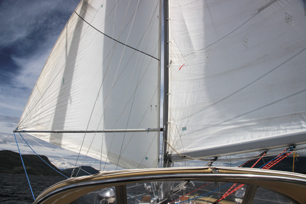
Sailing wing on wing in Johnstone Strait in about 15 knots
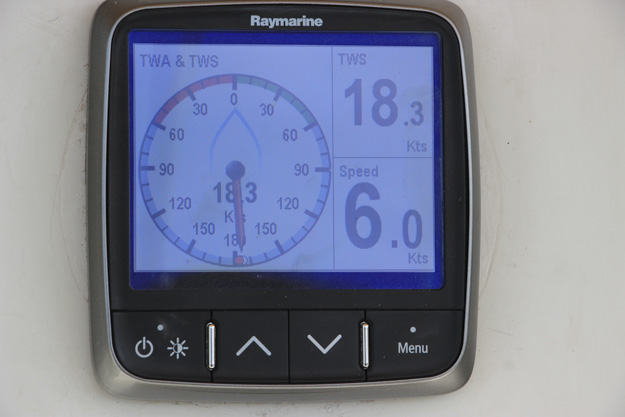
Doing 6 knots wing on wing in 18 knots of wind. It would seem like 18 would make us go faster, but our C&C isn’t at its fastest when going dead downwind.
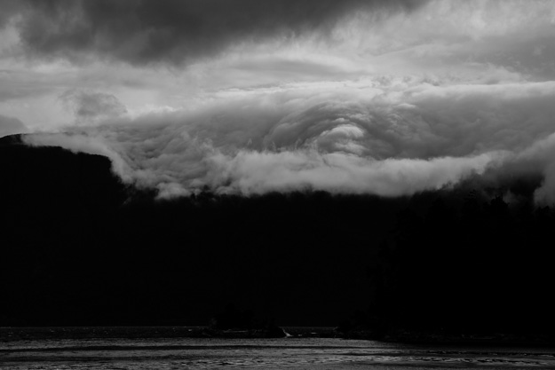
After anchoring in the Mary Island anchorage, some scary clouds rolled in through Johnstone Strait.
Blind Channel Resort
We stopped at the marina at Blind Channel, mainly because we had heard of the good food at the restaurant there. Their menu is German influenced, with some of our favorites like pork schnitzel and goulash stew. They were doing a buffet the night we arrived, but we assumed it would be selections from their normal menu. We should have asked beforehand though – we were crushed to find out it was a seafood boil – crab and other shellfish, which we don’t eat much and I’m allergic to. So we skipped the dinner, but in all other aspects Blind Channel was a great stop – we’d love to come back sometime, but will make sure to skip buffet night!
We hiked the trails behind Blind Channel – these are some wonderful trails taking you past old cedar trees. An hour or two of hiking was a welcome chance to stretch our legs after weeks on the boat.
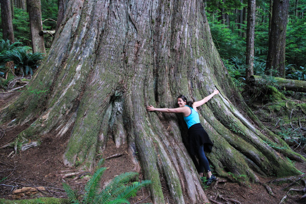

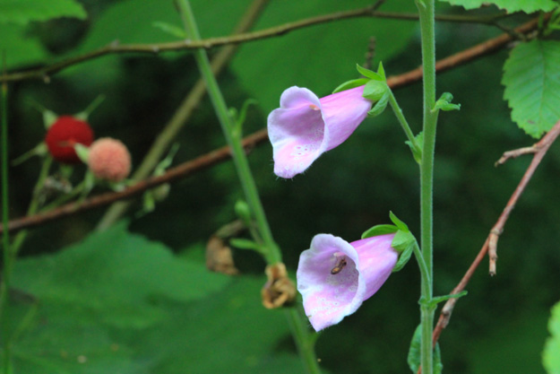
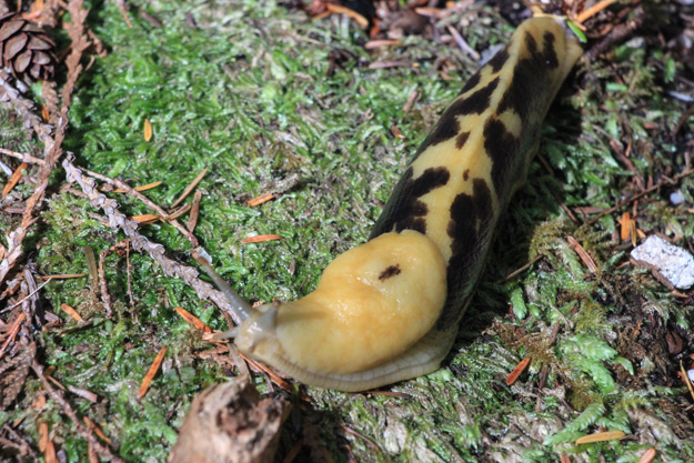
On hikes I like taking pictures of slugs; and this hike had lots of them.
Chained Islands, Kanish Bay
After a day of mostly motoring, and some attempts at sailing in 2-4 knots of wind (with 1-2 knots opposing current we mostly went backwards), we anchored in the Chained Islands in Kanish Bay, north of Seymour Narrows. No other boats were there, and we found a good spot in the middle of the three westernmost islands that make up the Chained Islands, with a view of a small midden.
The winds picked up overnight though, and we had 15 knots or so in the anchorage all night. This caused our flag halyard, which we also had the radar reflector on, to chafe through and drop to the deck with a crashing sound in the morning. The radar reflector mount was a temporary hack job anyway, so I didn’t really mind. Running a new flag halyard requires climbing the mast though.
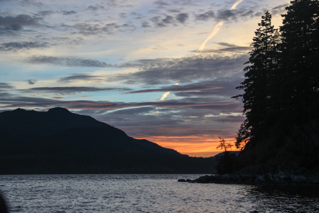
A beautiful sunset from the Chained Islands, Kanish Bay.
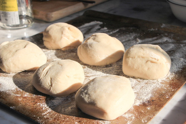
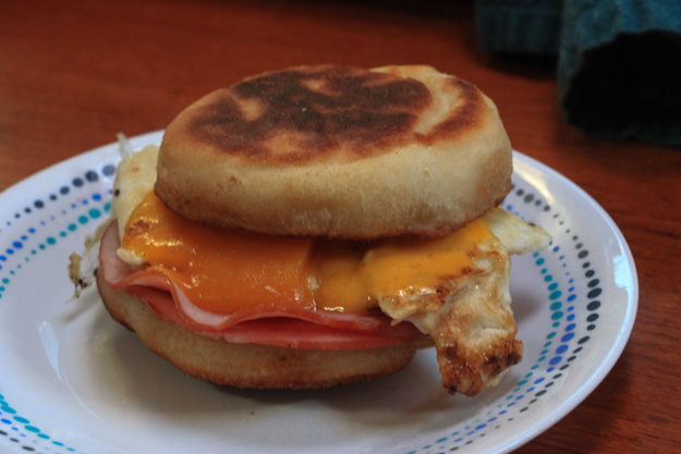
Natalie made homemade English muffins.
Seymour Narrows
We can now say we sailed through Seymour Narrows. Seymour Narrows gets the highest currents of pretty much any pass in these areas. Even cruise ships going to Alaska take it seriously, and don’t transit much outside of slack. We had strong north wind all night at anchor, so we took off early to ride the tail of the flood towards slack at Seymour Narrows.
The wind was still at 15-18 knots, so we sailed with full genoa alone. We entered Seymour Narrows 45 minutes before slack (on a strong spring tide), but the water looked quite calm with little turbulence, and another sailboat had passed through 20 minutes before us. Since we were riding with the current and wind, this was no problem. As we sailed through the narrows, the wind lightened so we raised the mainsail just south of Ripple Rock. With decent speed once again, we took off – riding a current that was still flooding at 2-3 knots, we hit a max speed of 10 knots over ground (pretty exciting for a boat that rarely goes over 7).
Campbell River
One of the reasons for taking Johnstone Strait, and then Discovery Passage, was to visit Campbell River. This is the biggest city we had been in for a long time, and a fantastic reprovisioning stop with numerous stores in walking distance of the marina (Discovery Harbor Marina, which is one of three).
We bought nearly $300 (CDN) worth of groceries from Real Canadian Superstore. This store is kind of like a Costco, but without the membership requirements; it’s been one of the best grocery stores we’ve found in BC yet. The prices were cheap, and they had a large selection of our favorite meats, produce, etc. The deli meat was really good too.
Campbell River also has a Canadian Tire (BC’s version of a Home Depot kind of), and a good marine store – Ocean Pacific Marine at the boatyard next to Discovery Harbor marina.

Restocking my beer supply. It might seem like a lot, but drinking is the 2nd most important activity a sailor has.

Nice slug and huge tree!! Looks like a great adventure.