After the Broughtons, returning to Desolation Sound in late July was a bit of a shock – there were so many boats! And it was hot – really, really hot. In the Broughtons we were wearing long underwear and fleeces much of the time, but now we had to pull out our bathing suits. Adjusting to the heat was tough the first few days – it made us dead tired, and we doubled the water we drank. The number of boats was an adjustment too – some anchorages (like Squirrel Cove) were so full, it felt like we were on Lake Washington in Bellevue.

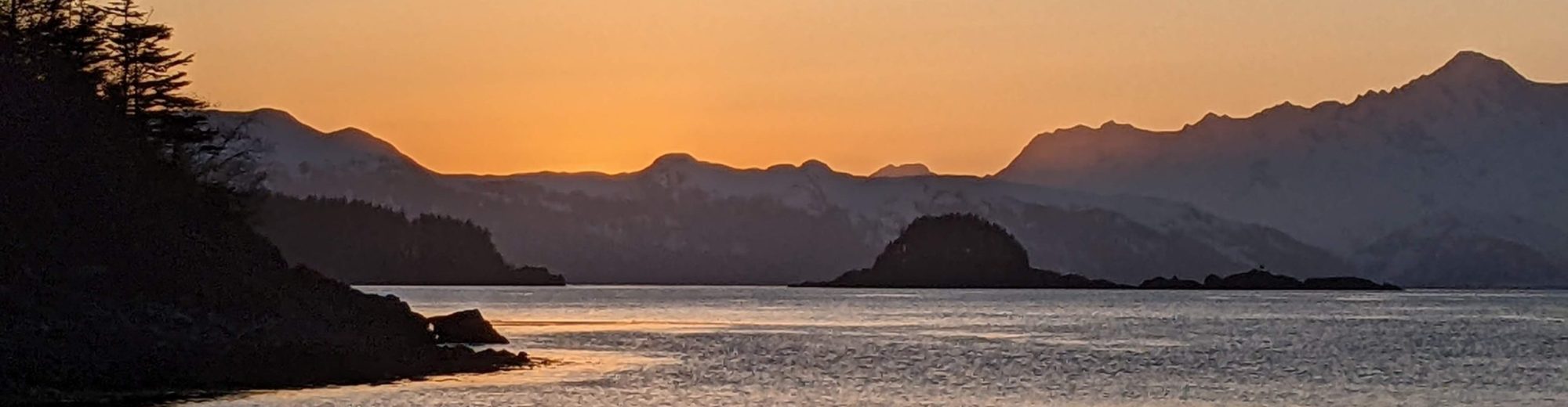
Beautiful views while anchored in Pendrell Sound.
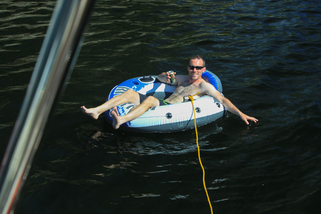
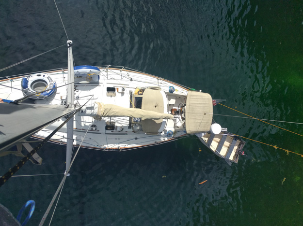
Inner Tubing in Pendrell Sound
Pendrell Sound turned out to be everything we could’ve possibly hoped for, and made our week. We had heard good things about it from other cruisers, but our guidebooks didn’t have a lot of detail on it, and we weren’t sure about a few parts. Would the depth of the anchorage make it difficult to find a spot (especially given how crowded other anchorages around here have been)? Pendrell Sound is somewhat like Princess Louisa – thousands of feet deep in the middle, and towering mountains on the sides. There are no bays or protected anchorages with large areas of shallow depth. I also worried would strong winds funnel down the channel making the anchorage uncomfortable and unprotected?
These worries turned out to be unfounded – the weather was perfect (sunny, hot, and no wind above 8 kts), and we had no trouble finding a very nice nook to anchor in with a stern line run to shore.
We anchored in one of the nooks on the west side, about 3/4 of the way into the sound (not at the head, where the majority of boats seemed to go – we’re not sure why, perhaps the view is a little better there). We switched our anchor to our 300 foot rope rode (with 25’ of chain) instead of our 150’ chain, since the rope is better for deep anchorages. We ended up dropping in 60’ and only putting out 120’ of rode. We then pulled the boat back with the stern tie, getting to within about 50’ of shore. At low tide the depth at our stern was 21’.
We met another boater who spends a week in Pendrell Sound every year. We spent two days, but could easily see ourselves coming back next year.
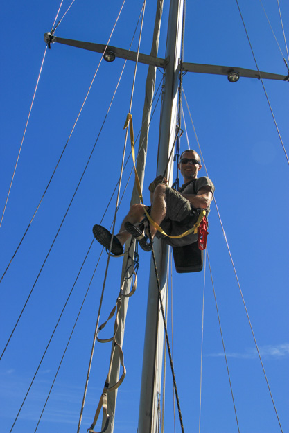
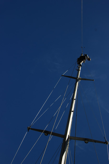
Climbing The Mast While At Anchor
I had some chores to do up the mast, so I used the extra time in Pendrell Sound as an opportunity to get those done. Most important was replacing our anchor light bulb with an LED bulb. After we realized our house batteries were shot (a story for another time – but basically resolved by buying new batteries in Campbell River), I realized our anchor light was our second biggest energy hog, after the fridge. The 10 watt incandescent used about 10 amp hours per night – that’s almost 2 hours of fridge time, and on some days nearly 50% of our energy usage. The new LED bulb uses 2 watts, which will be about 1.5 Ah per day.
Another task was rerunning our flag halyard. The line had broken last week when it chafed through at anchor in the Chained Islands, during a night which had 15 knots most of the night. I also did a rig inspection and replaced a block used for the lazy jacks. Spending nearly 45 minutes up the mast in the 80-90 degree heat and sun was exhausting and sweaty work – definitely the most tiring mast climb I’ve done yet.
Stargazing
Sailors and stargazing seem to go hand in hand. We even saw a boat named Stargazer. There’s good reason too – sailing takes you to places far away from cities, which blot out the stars. Light pollution from populated areas means even most suburban and rural areas these days can’t see but a tiny fraction of the stars. Sailing and camping are the easiest ways to view the true night sky.
Desolation Sound produced some great clear nights with a fantastic expanse of stars visible. We didn’t get these opportunities in the Broughtons and northward because the nights had close to 100% cloud cover pretty much all 14 days. In Desolation Sound when I wake up around 1 or 2am, I can go up on deck and see the Milky Way, and dozens of constellations.
Squirrel Cove
We think Squirrel Cove should be called Sardine Cove, because it felt like we were packed in like sardines. The inner cove had at least 50 boats in it. One section had a raft-up of 11 sailboats and 2 powerboats. I don’t know how they did it but it was impressive. The outer cove is less desirable because it’s a bit deeper, but I think that’s the way to go if you want the quieter anchorage. Guidebooks say it’s more exposed to wind, but that didn’t appear to be completely true – the most protected areas of the inner cove were already taken, and the less protected areas were equally as windy as the outer cove.
Squirrel Cove felt a bit like Lake Washington on a summer weekend – dinghies with high powered outboards were zooming around (heading to the store, or Refuge Cove). Some boats came in with their own entourage of additional boats in tow – two or three fishing speedboats and dinghies behind their larger boat. Squirrel Cove is a convenient location, but we’re starting to learn which anchorages we like and which we’re not crazy about.
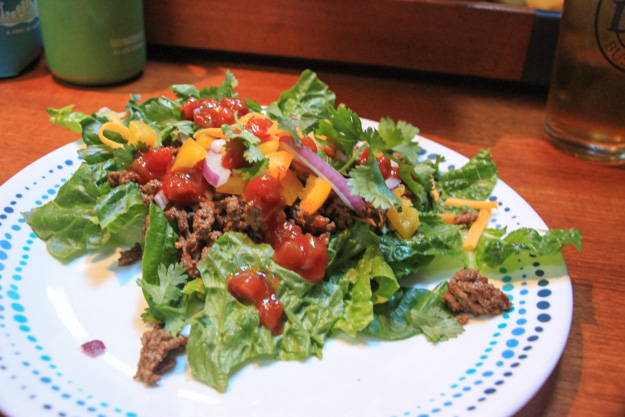
Taco salad – healthy and tasty.
Gorge Harbor
I wasn’t impressed with Gorge Harbor. Many guidebooks and reviews say it’s super well protected, but I didn’t think so. Certainly it’s super well protected from swell, given the narrow entrance, but there’s little protection from wind. The trees and surrounding hills aren’t high, and the bay is so large that wind funnels into it. We had 10-15 knots in the anchorage, which is the same as what we were getting outside it. Perfectly manageable, but I wouldn’t have wanted to be there in 25 or more.
Most of the harbor is quite deep – 60 to 100 feet – and there are only a few nooks where you can get protection from wind. There are several marine farms in the harbor. Most boats were squeezed into the western end of the harbor, but we went to the east end and were fortunate to find a good nook to the southwest of Neck Island.
Galley Bay
Our last night before departing Desolation Sound we spent in Galley Bay. It’s not a popular anchorage, but is conveniently located quite close to Sarah Point. We checked out the west cove first but it had two sailboats in it already, one on a rope rode, and would’ve been tricky to fit into.
The east cove worked well. We were on the outside since there were already a couple sailboats inside, and we had a fair amount of wind hitting us because afternoon winds had picked up to 15-20. But the holding was good, and it allowed us to see conditions outside, so we could take off in the morning while the wind was still up.
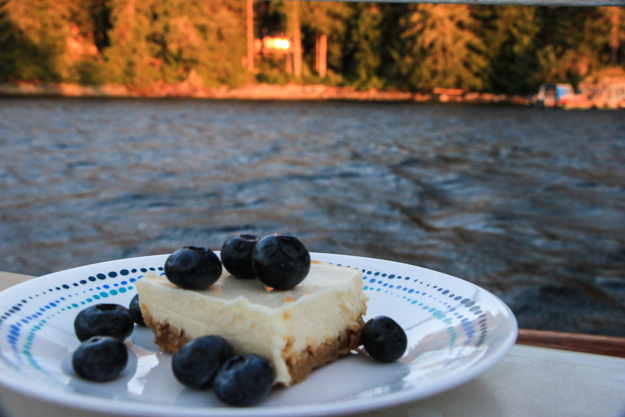
Natalie had made cheesecake, and we enjoyed some in Galley Bay as the sun set.
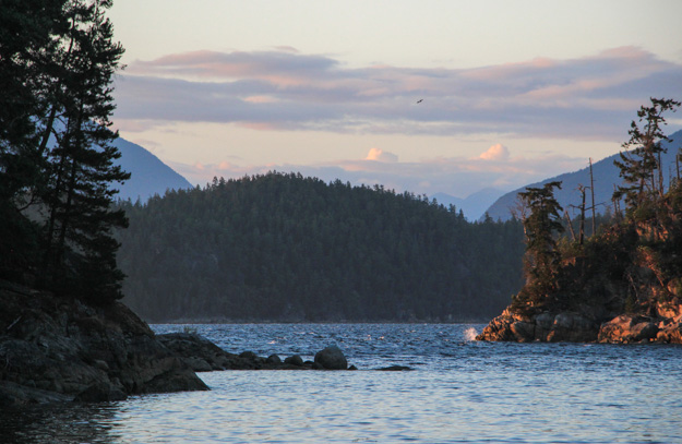
Anchored in Galley Bay. You can see the wind line outside the anchorage – 15 – 20 knots was blowing by Kinghorn Island, with current making it a bit more choppy.
Coming Up
We’re in Nanaimo now, after exploring the Sunshine Coast some more – Buccaneer Bay, Secret Cove, and Lasqueti. Next we’re heading to the northern Gulf Islands.
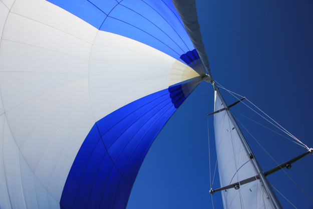
Sailing away from Desolation Sound under spinnaker – in the Strait of Georgia after taking Baker Passage.