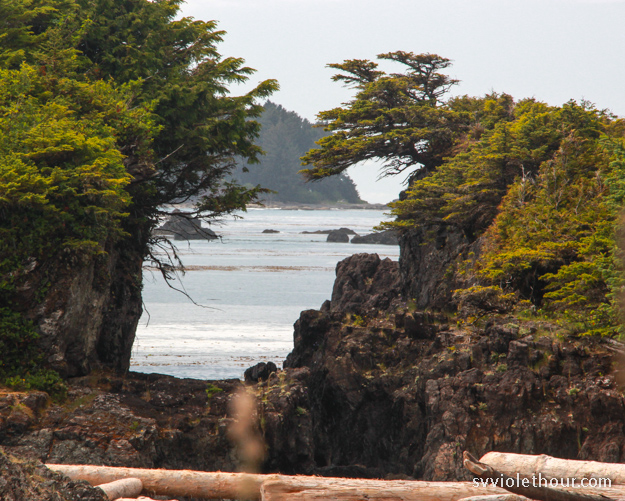
Kyoquot Sound is the second sound on the northwest coast of Vancouver Island, after Quatsino Sound, and is the place of refuge after the Brooks Peninsula. We’ve spent almost a week here, discovering some beautiful anchorages – the highlights being Columbia Cove and the Bunsby’s.
We continued to see sea otters, including the first raft (group of 20-30) we’ve spotted. And Kyoquot is the first place I’ve seen bat stars, a sea star that is black in color (almost an iridescent blackish-purple) – there were lots in the Bunsbys and also Walter’s Cove. Mosquitoes are also present in all the anchorages here, so make sure to have good hatch nets.
We spent all our time in the outer waters of Kyoquot Sound – technically not within the sound itself (Columbia Cove > Bunsbys > Walter’s Cove > Barter Cove > Rugged Point). We read that Kyoquot Sound itself rarely gets much wind, so it’s probably not a good region for sailing. The anchorages of the outer region are rugged and beautiful, with several of them having views out to the Pacific Ocean. We tend to like the rugged outer anchorages, and found they made for great exploring by dinghy or paddleboard.
[This post covers June 30 – July 6, 2019]
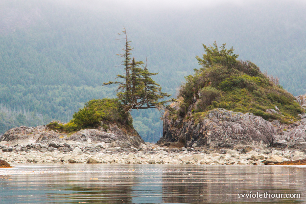

A bat star
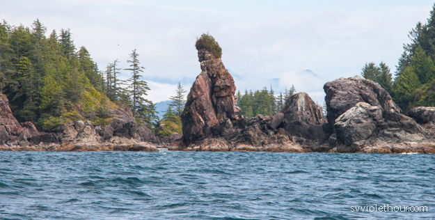
Columbia Cove
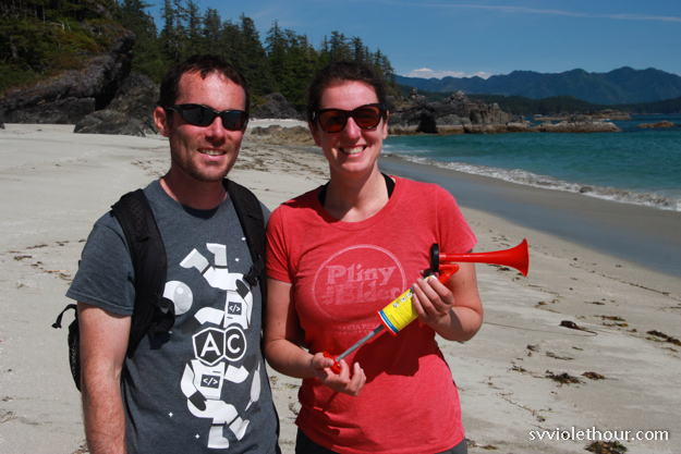
Columbia Cove is shallow (15-20 ft) with sticky sand on the bottom. We dinghied to the lagoon / mud flats and hiked to the Shed 4 beach with Andrew and Jill from S/V Jab. The beach was one of the most stunning we’ve seen – easily rivaling West Beach on Calvert Island. For that and the short hike I think Columbia Cove was well worth the stop.
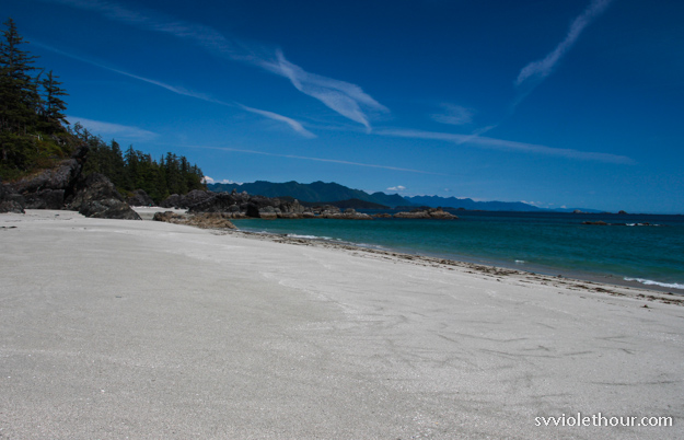
The next day we headed to the Bunsbys. We weren’t sure if we’d be able to sail it – the northwest wind dies down a lot outside Columbia Cove. But after 30 minutes of sitting becalmed, we got to NW 10-15 and sailed all the way!
The Bunsbys
The Bunsbys are a very popular destination just outside Kyoquot Sound. Waggoner’s is particularly ebullient about them. We anchored in the south nook, which has the best view – out to the Pacific over some low-lying rock reefs – but the most exposure to wind. Oddly, although we have NW 15 wind now, the wind was coming from the south at 10 knots in the anchorage – it must bend in some weird way.
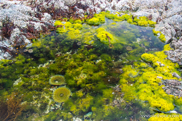
The Bunsbys are also supposed to have many sea otters – our guidebooks said rafts of them (sea otters are social mammals and sometimes congregate in rafts at kelp reefs). However we only saw two solitary sea otters.
The Bunsbys were rugged and beautiful, with great exploring via paddleboard (lot of sea life). I also spotted a black bear flipping rocks on shore. We ran into S/V Jab again and had happy hour on their boat.
Walter’s Cove
Walter’s Cove is a cute harbor with a small village of permanent residents. Everyone was super friendly. Our guidebooks, Waggoners and the Douglas guide, advised that the town is dry (alcohol free) by vote of the local council, and that alcohol isn’t for sale nor in sight on dock. I admire the motive between the community’s initiative, but we saw plenty of people drinking on dock and the recycling bins are filled with liquor bottles. So I guess the dry mandate works about as well as Prohibition did.
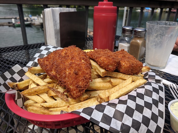
The coffee shop / restaurant made excellent halibut and chips! Thick halibut, lightly breaded, with handcut fries.
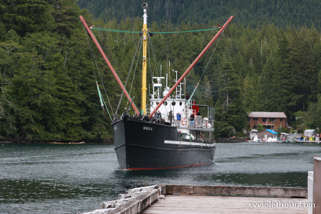
Our guidebooks and other cruisers we talked to also had outdated information on the groceries here – they believed the grocery restock arrives on the Thursday run of the Uchuck III (a large ferry boat which makes a spectacle coming into the very small harbor). But this is no longer the case – the store owners said they provision over the weekend, so the freshest groceries are on Monday. The store is only open Monday, Wednesday and Friday from 1-5pm.
The Uchuck III still arrives on Thursday around 5pm. The store here was pretty well stocked – much better than Winter Harbor – although still pretty basic. Vegetables were pretty limited (lettuce, carrots, bell peppers, cucumbers, but no broccoli, asparagus or other greens). So we’ll be relying more on our canned goods and such in the next two weeks it will take to get to Tofino.
The northwest coast of Van Isle is pretty remote, and it’s necessary to be able to be self sufficient for at least a week or two. We haven’t had access to shore power in 2 weeks, so it’s good we have ample solar.
Barter Cove
After two nights in Walter’s Cove, we motored over to Barter Cove, a whopping 0.7 nm away. There’s no wind, all day every day, so we’re not in a rush. Barter Cove is seldom visited by cruisers and we couldn’t find much written about it. There are no notes in Navionics or Garmin, and Waggoners was dismissive of it, calling it “unprotected”. That might be true in a westerly gale or a high swell state, but we don’t have enough wind now to blow out a candle.
A tiny amount of reflected swell (from the northeast) does get into Barter Cove, setting our boat gently rocking, but it was so slight as to be barely noticeable. In a higher swell state I would probably not come here – but currently the outer sound has barely any swell – less than 0.5 m.
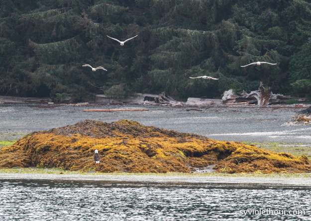
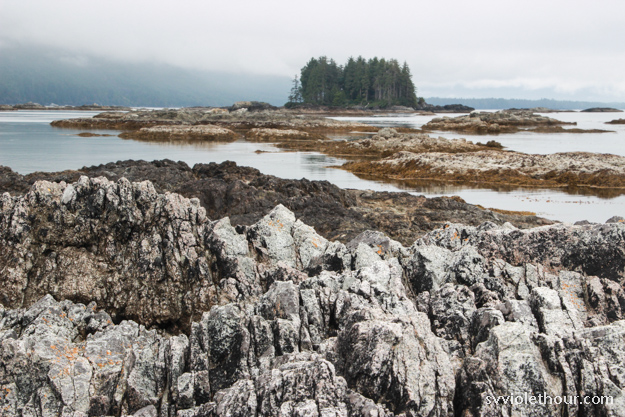
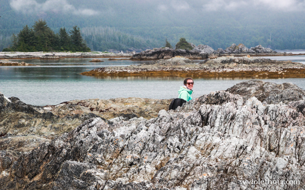
Barter Cove was quite pretty, and puts you near a few beaches as well as an old cemetery and Spring Island. We motored the dinghy over to Spring Island, about 1 nm away through a rocky, kelp strewn pass, and did a great hike across the island. The hike is about 1.5 km each way and took us to a scenic beach and views of the islet and rock strewn coastline facing towards the Pacific.

Rugged Point Anchorage
Rugged Point is about 8 nm southeast of Walter’s Cove. We motored about half of that and the rest sailed slowly in W 4-5 for about 2 hours. Rugged Point has access to a beautiful fine sand beach facing the Pacific. The only tricky part we worried about, from reading guidebooks, was that some swell can get into the anchorage sometimes. Rolly anchorages are no fun and make for a poor night’s sleep.
Fortunately the swell state is very low right now. The anchorage was pretty much glassy calm, although occasionally a small rolly swell managed to get in – however barely noticeable and less even than Barter Cove. I wouldn’t come here when there’s a big swell up.
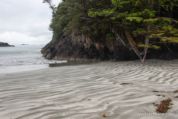
We hiked the short 0.5 km to the south beach of Rugged Point, with a view out to the Pacific. It may be because of the grey overcast weather, but we weren’t as impressed as the “wow” description in Waggoners led us to expect. The beach at Columbia Cove is much more impressive. Still, Rugged Point is a good jumping off point (if swell is low) for sailing to Esperanza Inlet, where we head next. Rugged Point also has tons of sea life – when I paddleboarded around the next morning, I saw dozens of sea stars, schools of hundreds of small fish, and rock crabs clinging to the kelp forest.
Weather: “Wind Light”
The weather this year in late June and early July hasn’t seemed very summer-like yet. I don’t know if it’s our location or if it’s unusually gray and overcast this year, but we’ve had a lot of grey days where the sun doesn’t come out or only comes out for a couple hours. We’ve also had fog about 1 in 4 days, rain, and only light wind most of the time – not the strong northwesterlies that typically last 3-5 days during a period of sunny summer days. It’s been very humid, and days vary between chilly to warm.
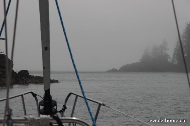
The forecast has been “wind light” or “variable 5-10” for several days now. It’s making it frustratingly tricky to sail, so we’re moving very slowly – spending five days in an area that spans only 16 nm (Bunsby Islands > Walters Cove > Rugged Point). So far we’ve been upwind 50% of our sailing time on the west coast.
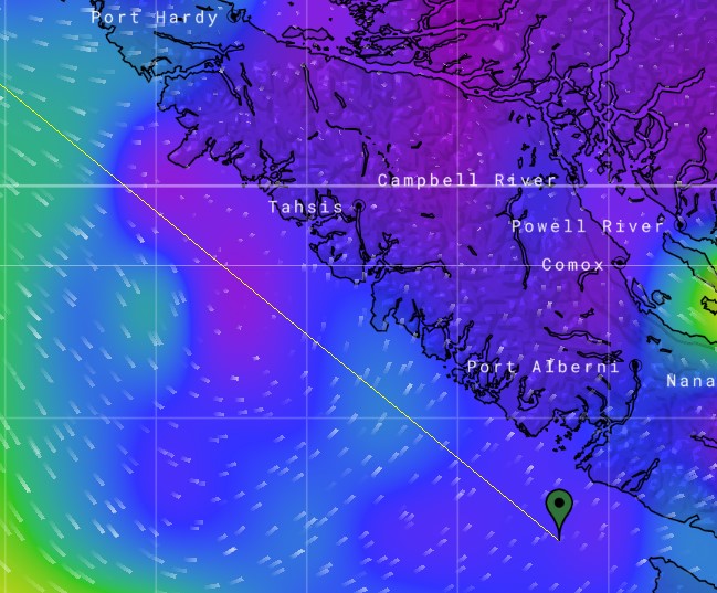
PredictWind forecast for Friday July 5 at 2pm. A whole bunch of 0-2 knots.
The Strait of Juan de Fuca and Strait of Georgia are getting lots of wind apparently, but the west coast and central coast of BC are getting little. In a few days (around July 9) the west coast is switching to a moderately strong southeasterly for 3-4 days, with likely rain and heavy cloud cover. A southeasterly in July! Is this crazy town? I can’t recall ever having this much rain after the 4th of July, or having SE 20-30 on the west coast of Van Isle.
Next up we’ll try to sail to Nuchatlitz, and figure out what we’re going to do about the southeasterly.
