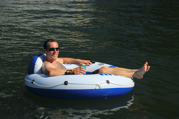
As I sat in my inner tube behind Violet Hour anchored in Selby Cove, beer in hand and sunny blue skies overhead, I reflected on how quickly conditions can change while cruising. Just yesterday we were in the Strait of Georgia with 4 foot waves and 20 knots of wind, the Strait a raging cauldron of turbulent waves and wind. The boat was rocking enough that even using the head was a struggle. When we weren’t uttering unprintable words about the state of the waves, the kindest word we had for them was “manageable.” As in, “these waves are pretty awful, but manageable.” Then moments after passing through Porlier Pass into the Gulf Islands, a dramatic change occurred – the water went completely flat and the wind died to an easy 6-10 knots. The protection afforded by the Gulf Islands is truly impressive.
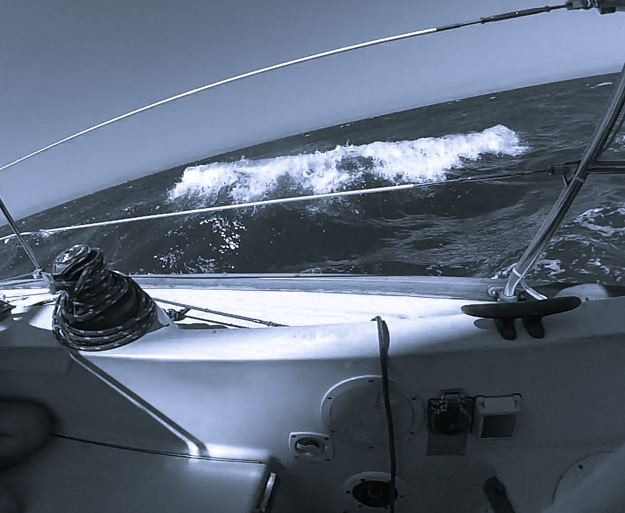
Three days prior, on the way to Vancouver, we had crossed the Strait with completely flat water and 3-5 knots of wind. We continue to be impressed by how dramatically different the Strait of Georgia can be from one day to the next.
Burrard Inlet
We left Vancouver at 9:30am, early, because according to the buoy reports, the wind was already up in the Strait of Georgia – blowing a steady 20 knots since midnight. We didn’t feel any of it in Vancouver though, the calm, flat, windless surroundings lulling us into thinking we had a relatively easy day ahead of us.
As soon as we got out into Burrard Inlet, the wind picked up to 10 knots on the nose, so we set sail. As we sailed upwind, we tacked close to giant container ships that are often anchored in the bay. I said to Natalie, “this is the closest I ever want to be to the bow of a tanker” (at least not when it’s moving).
Before long the waves in the inlet grew to 3-4’ steep, close spaced waves. They were manageable, but not fun – we considered turning back. As we beat upwind into the steep waves, they slowed our boat’s progress to only 3 knots at times, even though we had full sails up in 15 knots, which normally means 6 knots of boat speed. Carefully focusing on hitting each wave right allowed us to keep a speed closer to 5 most of the time.
Later reading the charts more closely I saw this note on Burrard Inlet:
*CAUTION*
WESTWARD FROM FIRST NARROWS TO BUOY QB, THE EBB CURRENT MAY
BE PROCEEDED BY AN ADVANCING TIDE LINE. SURFACE CURRENTS
WEST OF THE TIDE LINE ARE SLACK BUT AT DEPTH OF 32.8 FTS
A STRONG WESTERLY CURRENT IN EXCESS OF 2 KNOTS
IS USUALLY PRESENT.
This note is pretty obscure even for marine charts, and I’m not 100% sure what it’s trying to say, but I think it’s because they’re trying to explain complex tidal forces in only two sentences or so. Basically what it means is “the waves here, in certain conditions, may be awful.” They’re saying you’ll see a tide line (which we saw), and that the water below the surface water may be moving faster than the water near the surface. This is a recipe for standing waves.
As we got out into the Strait of Georgia we hoped the waves would get better and we’d get to turn more downwind. Unfortunately since the wind persisted in staying west northwest, we had to stay mostly upwind (close reaching) to stay out of the shipping lanes, which veer out far westward of Vancouver. Our speed picked up though, to 7 knots at times, so we were happy with getting a fast but tiring crossing.
The conditions were similar to the last time we had a tough crossing of the Strait of Georgia when going through Halibut Bank with 20-25 kt south winds. This time didn’t seem as bad though. Perhaps it’s because we weren’t going through Halibut Bank, or because the winds were a bit lighter (20 instead of 22-25).
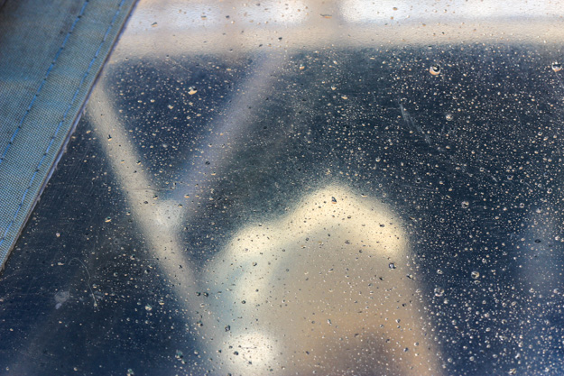
Salt encrusted on our dodger windows after the Strait of Georgia crossing. Salt somehow made it 6 feet up our mast from deck level, which puts it 11 feet above waterline.
’Thar She Blows!
Shortly after exiting Burrard Inlet into the Strait of Georgia, I turned the wheel over to Natalie so I could use the head. Trying to relieve oneself on a boat that’s riding down waves like a bucking bronco is a real challenge. We were going upwind and the head was on the high side. As I tried to avoid getting pitched across the cabin, Natalie shouted “WHALE!!!!!” The loudest I had ever heard her shout a whale spotting.
I looked out the head window, and saw a gigantic splash – I had missed the humpback’s breach, but saw the huge splash it left behind. I hurried up to the cockpit and we watched two humpback fins about 1/4 mile away in the swells. It was hard tracking which way they were going, with the 3-4’ swells obscuring our view. We were anxious to make sure they weren’t on an intersection path with us.
Then we saw it – one of the humpbacks launched straight up out of the water into a full breach. The entire whale was out of water, for a moment, and then crashed back down. If we had had a zoom lens at the ready for the second a breach takes, it would’ve been a National Geographic worthy photo.
Porlier Pass
We took Porlier Pass at peak current – but that was only 2.4 knots, because it was a small tide. We had moderate turbulence, but no whirlpools or set; in the future we’d probably be comfortable taking Porlier Pass at up to 3, maybe 4, knots of current. Especially since Porlier Pass was a placid lake compared to the Strait.
Clam Bay, Northern Gulf Islands
Clam Bay is quickly becoming our favorite anchorage in the Northern Gulfs. It’s easy to get into, big enough to fit many boats, and has relatively shallow depths with good holding. After sailing through Porlier Pass we sailed onto anchor in Clam Bay. The next morning we sailed off anchor and quickly took off at 5.5 knots on a beam reach. If you like to sail on/off anchor, Clam Bay is well suited to it, as long as you keep in mind the two reefs near the middle.
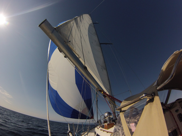
Sailing in the Gulf Islands we often used the spinnaker in the light winds. Here we’re heading from Clam Bay to Prevost.
Selby Cove, Prevost Island
Selby Cove is on the northwest of Prevost Island, facing out towards Ganges harbor. It’s an alternative to James Bay (next door, to the east) which our guidebook said could be crowded. James Bay wasn’t that crowded (only 3 boats) but we decided to try Selby, and found a nice inside spot slightly north of a floating dock.
Next time we would probably go for James Bay though, as it provides easier access to the hiking trails of the marine park. You can get to them from Selby too, but the junction to the main trail is poorly marked and we ended up following a spur trail to the south which dead-ended and then we had to backtrack 20 minutes.
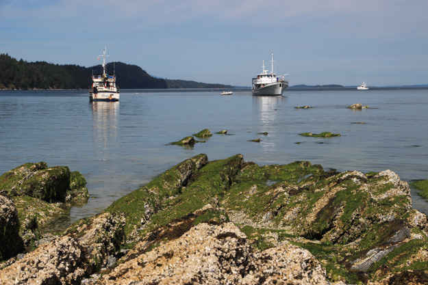
View from James Bay after we hiked there.
Portland Island (Princess Margaret), Royal Cove
Portland Island is one of our favorite anchorages from last year because it has what we consider the best hiking trail in the Gulf Islands. The island loop trail takes 2 – 2 1/2 hours and crosses through widely varied terrain, with great water views in many parts, and several white sand beaches.
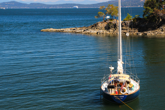
Stern tied at Royal Cove
Sidney Spit
Visiting Sidney Spit was especially rewarding to us because last year we passed it up due to our transmission issues – as we had sailed past the spit with 10-15 knots blowing, I didn’t want to risk going into a tricky, sandbar strewn anchorage with potentially no forward power. This year we motored through the shallow gap into the mooring ball area. As we shot the gap, our depth sounder said 9 feet, then 8 feet, then a 5.5 foot reading! Our draft is 5 feet. So this is the closest we’d ever come to a grounding. Assuming the depth sounder is accurate.
Of course, Sidney Spit is a sand bottom, so if we grounded at one knot it probably wouldn’t have caused damage. Still, in the future we’d only go through here on at least a 6’ tide. We were on a 4′ tide and the charts said the gap is minimum 6′ depth, so in theory we should’ve had no less than 10′ – but perhaps the charts are off, or both GPS devices we were running were off (this seems unlikely).
There were no mooring balls available, so we left the inner anchorage / mooring ball area and went to the beach west of there, which has good anchoring in 12-25’, and a phenomenal soft sand beach. For a while we really felt like we were in the tropics; or Cape Cod – from having spent family summer vacations there as a kid, that was what it reminded me of. We walked the beach, and later had happy hour on a blanket stretched across the sand.
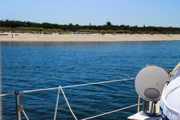
Anchored just a couple hundred feet off the northwestern beach. Few people went to this beach (most go to the main spit area) so we had it almost to ourselves.
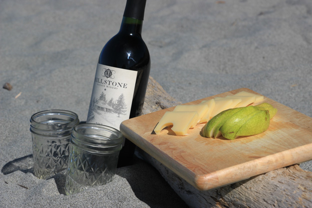
Happy hour on the beach.
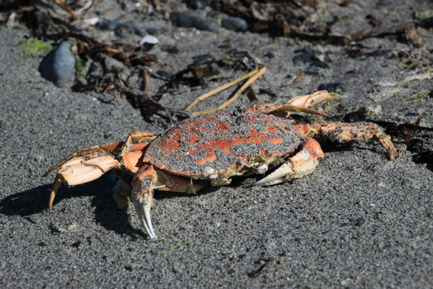
Exploring the spit.
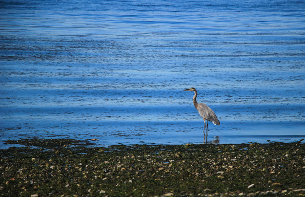
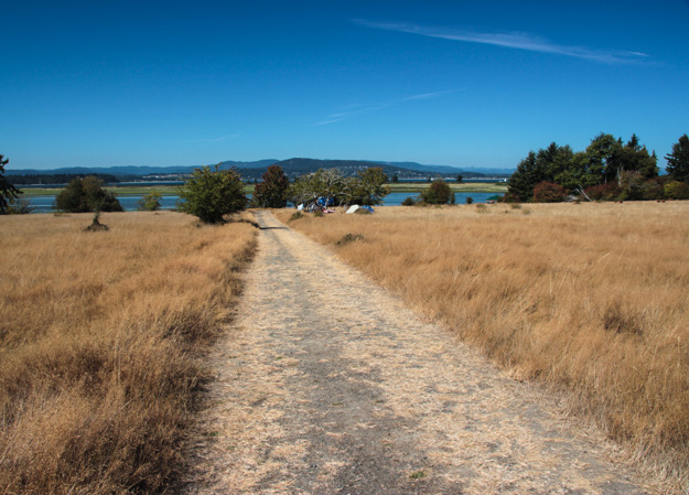
On the hiking trail south of Sidney Spit.
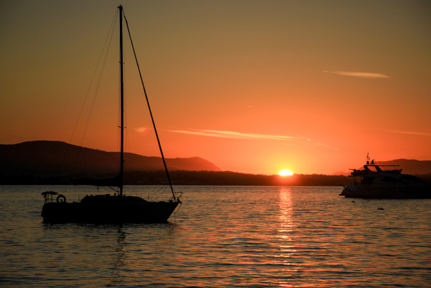
Phenomenal sunset from Sidney Spit.
Coming Up
We’re back in the San Juans now, anchored in Roche Harbor, and planning to head through the islands and then towards Port Townsend this weekend.

Great to read your adventures, so different to cruising the Australian East Coast.
I’ve enjoyed reading of your adventures.
We crossed the strait for the 1st time this summer, sailing to Silva Island with our 2 young kids. T’was the strongest winds and roughest seas we’d sailed. Everything after this seemed easy. The gulf islands are amazing. Desolation is our next adventure and I can’t wait.
Silva Bay Gabriola Island that is 🙂