After reprovisioning in Port McNeil, we had mild southerlies predicted for a few days, so we decided to use those winds to go further north – past the Broughtons and towards Cape Caution and Port Hardy. We went to Blunden Harbor for two nights, Miles Inlet for two nights, and then back across the strait to Beaver Bay which is around the corner from Port Hardy. Then we crossed the strait again to Wells Passage and the Broughtons.
We’re over a month into our 3-month trip now, and realizing how long a time that really is. So much has happened in a month that sometimes it’s hard to believe we have two more of those. On a 2 week or 4 week trip it’s possible to ignore some hardships and just deal with it. When it’s 3 months, you can’t ignore the little hardships of cruising as much – they’re part of your everyday life, so you need to find a sustainable pace. And not every day has good weather – we’ve been finding a lot of almost Alaska-like weather for July – chilly, overcast, and off-and-on rainy.
One thing we’ve been surprised with is how many more powerboats than sailboats there are up here. There are at least twice as many powerboats as sailboats in most anchorages, but in some places it’s closer to 10 to 1 (in our current anchorage we have 9 powerboats and we’re the only sailboat). It makes sense though – the Broughtons and beyond are a long trip from the Northwest boating centers, and powerboats can make the trip quicker than sailboats – which gives them broader range. Since what most boaters are shortest on is time, that means more powerboats reach the more remote areas.
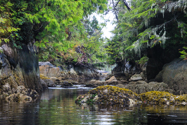
Exploring Miles Inlet by dinghy
We met a sailor single-handing a Contessa 26 (sailboat) in Shoal Bay, and have been running into him often since then – at Port McNeil, at Blunden Harbor, and at Cypress Harbor. Hannes is really serious about sailing – he uses less fuel than probably your average suburbanite’s lawn mower, and will patiently spend hours drifting in a 2 knot wind. He stores his bananas in the bilge because he has no refrigeration. It’s one of the things I love about cruising – we all have different ways of getting here, but everyone gets to enjoy the same beautiful views. The water is a great equalizer.
Blunden Harbor
We motored the three hours or so from Port McNeil to Blunden Harbor – this was the one day this week with no wind. Queen Charlotte Strait was glassy calm and perfectly flat. Natalie threw out the fishing line just in case we had good luck, but we haven’t caught anything yet. We heard the salmon aren’t here in numbers yet – the waters are too warm so they’re staying in Alaska longer.
We spent 2 nights at Blunden Harbor, which gave us extra time to explore the midden beach (a midden is a spot where an Indian settlement has left collections of shells from shellfish harvesting, over the course of many years) and inlets.
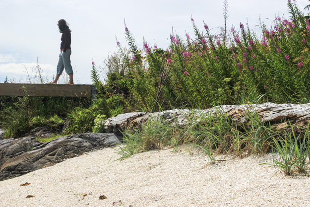
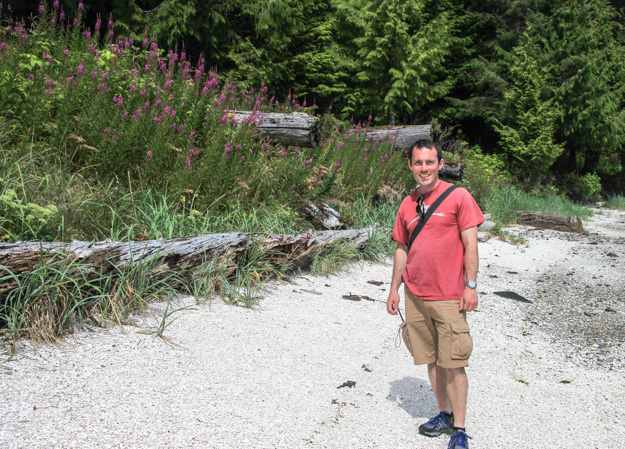
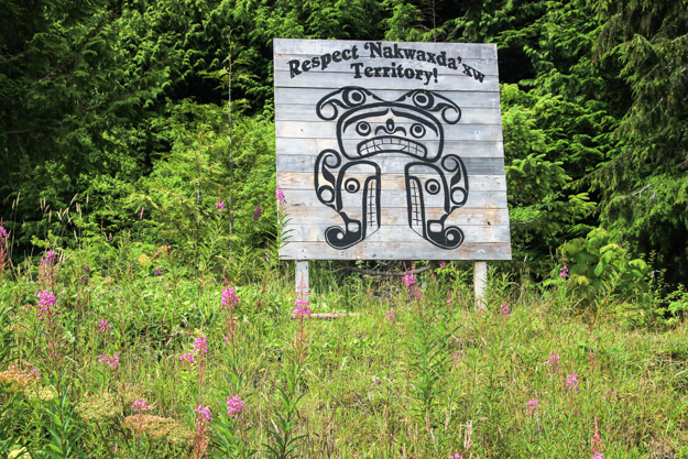
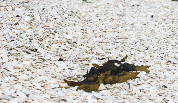
It’s amazing to think how many shellfish must have been consumed to make a midden – tens of thousands probably.
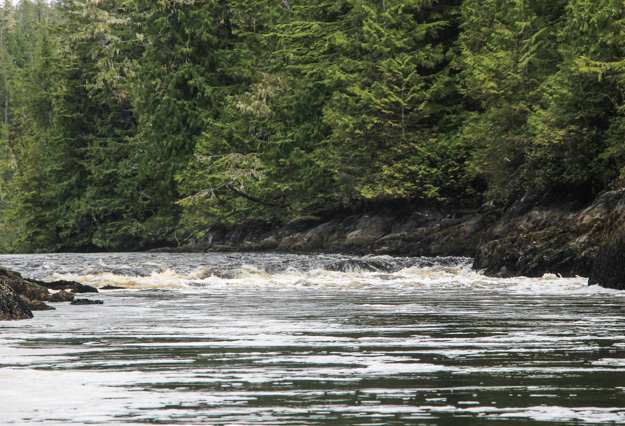
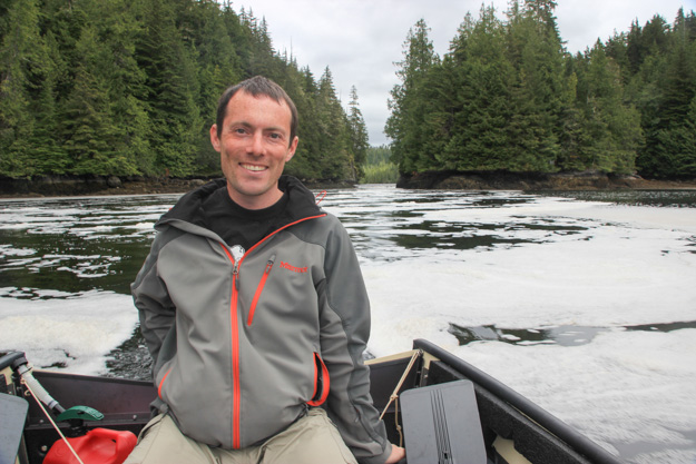
We took the dinghy a mile or two up the inlet to try to get into the lake, which is gated by a shallow pass with rapids. Unfortunately the high tide times weren’t very good – either 7:30am or about 6:30pm – so we tried going on a low water slack around 1-2pm. We found that low water slack probably wouldn’t work for this – the water is simply too low which means the rocks are more exposed and the rapids more turbulent. We had missed slack by about an hour too. But it was fun seeing the rapids and all the foam created as the lake ebbed its higher water level out towards us.
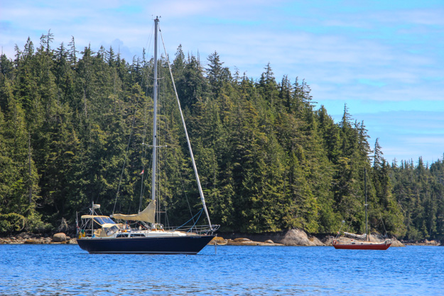
Anchored in Blunden Harbor with Hannes’ boat (S/V Philapena) on the right.
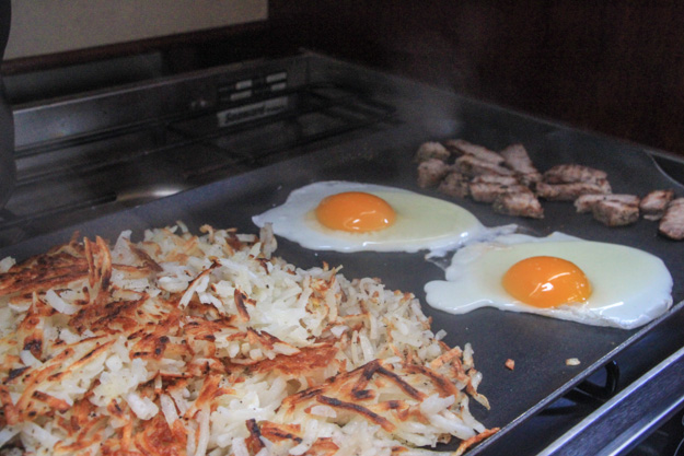
We often have hashbrowns onboard for breakfast, this time with steak (leftover) and eggs.
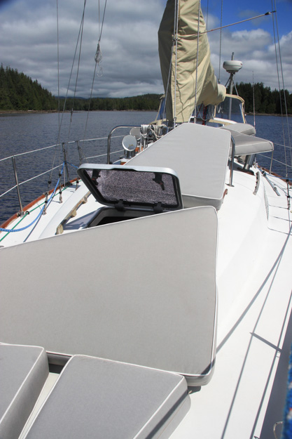
Sometimes when you get a sunny day and have been cruising for a month, it’s time to air out the cushions.
Miles Inlet
We decided to spend 2 nights here, since it’s so picturesque and well protected, and when we woke up in the morning it was quite foggy out on Queen Charlotte Strait – visibility less than a mile. So we decided to wait out the chilly, rainy weather, and took the dinghy out to explore the inlet.
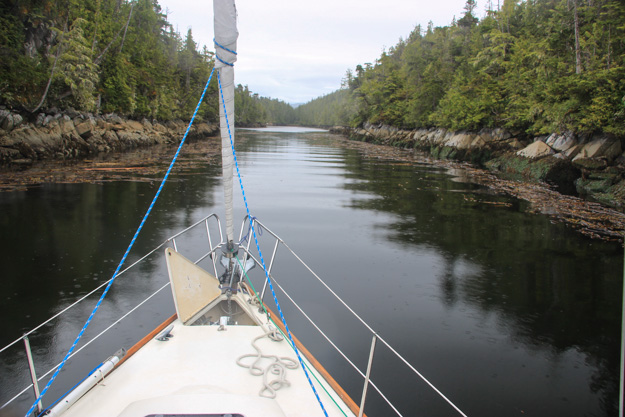
Entering Miles Inlet – pretty narrow, but easily navigable if you avoid the kelp on the sides.

In the south fork, we admired the reflections of evergreen trees and moss covered rocks mirroring off the perfectly still water. We found the entrance to a “pool” (a shallower little bay that boats bigger than a dinghy can’t get into). There was a rock filled stream that at a higher high water level might have been passable by dinghy or kayak to get into a lagoon.
The south fork also had enough room to anchor I think, if you dropped your anchor right in the middle you might not even need a stern tie. On another occasion we would probably try that area. We anchored in the main “T” intersection of the inlet, which provides a view of the Strait. We used a stern tie for the first time in BC, because the current was setting us a bit too close for comfort towards the SE shore.
In the north fork we found the rapids that lead to another lagoon / lake. We were about 2 hours past high water slack, and the current was already rushing out at 2 knots or so. We were able to motor our Porta Bote up into it (with our 3 hp 2-stroke) but there were rocks and kelp that were difficult to dodge, and eventually it got shallow enough that we turned around.
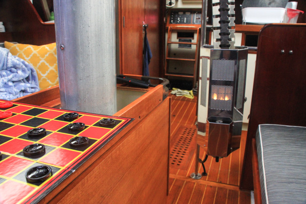
After our cold morning dinghy ride, we lit the kerosene heater and sat down with Bailey’s coffees and some Pink Floyd playing to work on blog posts and photos (okay, the Pink Floyd part was just me with headphones). Natalie had made the homemade Bailey’s the night before using a recipe from our friend Chip in Seattle. It’s even better than the store bought kind.
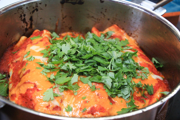
Natalie made enchiladas and rice, which was one of our best meals yet.
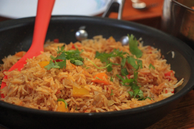
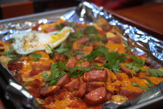
And in the morning we made chilaquiles with our leftover corn chips.
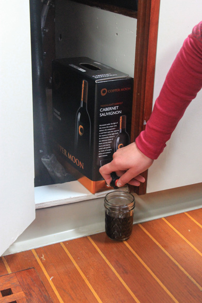
Natalie calls this “bilge wine” – she found a great spot to store her boxed wine, in the cabinet under the galley sink, close to the bilge where it’s cooler.
Beaver Bay
“Whale!” Natalie shouted. I thought she was joking, but then I looked and saw the flip of a tail. We were heading southwest in Queen Charlotte Strait from Miles Inlet to Beaver Bay (near Port Hardy) and had just passed by Castle Point (south end of the Deserters Group islands).
It was a large humpback – as it surfaced again the funny looking nodule on its back was unmistakeable. It was actually heading almost directly for us. We were sailing at about 4.5 knots on a broad reach, and considered evasive maneuvers (such as turning on the engine). I headed up to get us a bit more speed and that got us ahead of his path – he passed by our stern by a few hundred feet.
Sadly I don’t have photos, because my camera wasn’t in the cockpit and there wasn’t time to grab it. The size of these creatures is pretty awe inspiring. We’ve seen plenty of orcas before, but a humpback up close is on an entirely different scale.
Beaver Bay was cute – we got into Peel cove which was well sheltered and provided easy dinghy access to the beach and middens on Peel Island.
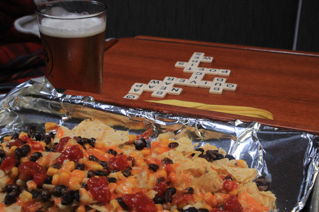
Happy hour with nachos and Bananagrams (aka “speed Scrabble”).
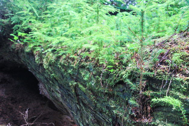
A nurse log near a clearing in the trees on Peel Island where the Indian settlement had once been.
Crossing Queen Charlotte Strait to Wells Passage
The forecast was for 20 knot NW winds, with a high wind warning. 20 knots doesn’t seem that bad to us, but we’re learning Canadian wind forecasts might be a bit conservative. When they say light winds we get 5-15 and when they say 20 we get 25 in places. We crossed the Strait from Beaver Bay to Wells Passage on a port broad reach pretty much the whole way. The winds started at 10-15 but built to 20. We reefed the main and the genoa.
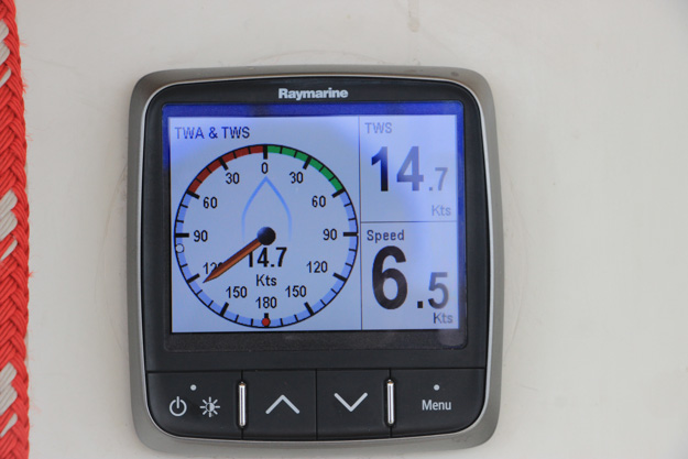
Making some pretty nice speed on a broad reach when the wind was at 15 knots (before increasing later).
Then as we were approaching Wells Passage I asked Natalie to get the binoculars. “Is that really a sea of whitecaps I see ahead?”
It was. The tricky thing about currents here is the strait was still flooding (with the wind) but Wells Passage was ebbing. As that ebb met the flood and NW winds, in fairly shallow water (100-200 feet), it created standing waves – steep, closely spaced waves that don’t seem to be moving but are breaking at the crests. Also the wind had risen to 25 now, with 28 knots being the highest gust we saw. We furled up the genoa and sailed under reefed main, still making 6-7 knots.
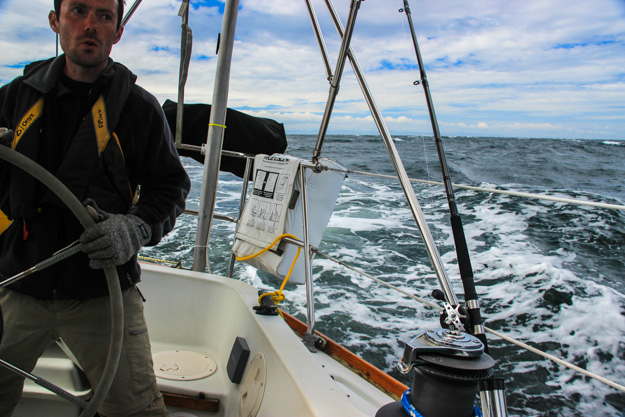
We made it through the sea of whitecaps okay, because we were going downwind, but afterwards looking back at them we laughed – the waves and breaking whitecaps were comically short and steep – in a couple places we probably had 3 foot waves at a period of 2 seconds. We wouldn’t have wanted to go through that going upwind.
Carrington Bay
We stopped in Carrington Bay (our first stop actually in the Broughtons) for a night before heading over to Sullivan Bay for a marina day. We need a marina stay about once a week for a few reasons – it’s easier to reprovision for food and get rid of trash and recycling (which we amass in surprising amounts in a week’s time), and it provides some shore time in relative civilization – six days in anchorages with just each other to talk to can get a bit socially isolating. But perhaps most importantly we need a marina stay to top up our batteries. It turns out our house batteries are basically shot – two 100 Ah batteries that are holding a capacity of perhaps 25 Ah each now.
Carrington Bay was perfect. Two powerboats and us, with enough room and good anchoring depths in about 25 feet with mud bottom. Then the sun even came out (for the first time in a week) and the water turned a turquoise green.
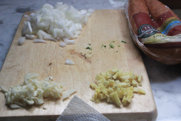
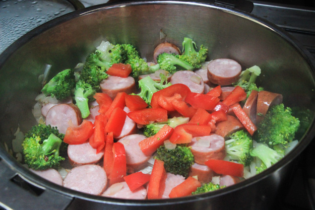
My turn to cook – I like making kielbasa stir fry, with onions, garlic, ginger, veggies, and rice.
Coming Up
With the weather returning to normal northerlies, we headed back south to the main Broughtons cruising territory. We had a stop in Sullivan Bay marina, and then moved on to Turnbull Cove, Nimmo Bay, and a few other anchorages. More on those to come soon. Now we’re in Farewell Harbor and preparing to enter Johnstone Strait tomorrow for the return trip south to Campbell River.
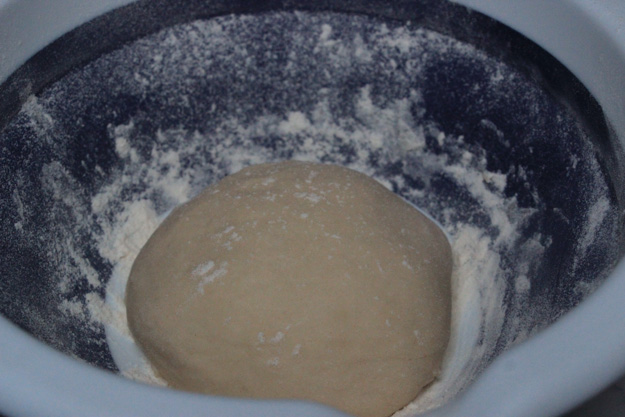
I’ve been working on perfecting my boat pizza. I use a dough recipe I found in a book which makes the closest to NY style pizza I’ve found. It’s a bit more challenging on a boat though, because we can’t get our oven to temps as high as 500 F.
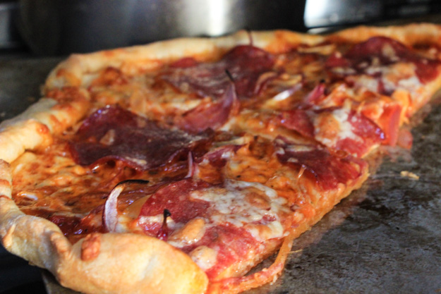
My 3rd pizza cooked on this trip – this one came out really well. “Best pizza in the Broughtons” we said.

Looks beautiful. Reminds me of Queen Charlotte Sound here in New Zealand. Presumably both places were named by Captain Cook after the same Queen?