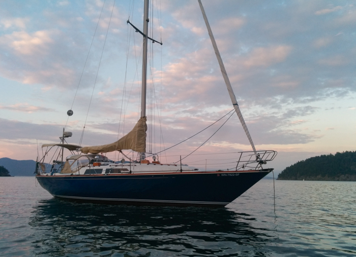
We completed our first major cruise on Violet Hour over Memorial Day weekend – a 4 ½ day cruise to the San Juans from Seattle. Highlights included seeing three Orcas, bashing through some nasty tide rips off Port Townsend, seeing several eagles, a family of otters, dinghying ashore at Spencer Spit, and exploring Port Townsend from the Point Hudson marina.
| Stats | Usage | Remarks |
|---|---|---|
| Water usage | 20 gallons (67% of capacity) | This was much higher than I expected, considering none was used for showering, little was used for cooking, and only 1 person (me) was using tank water for drinking (there’s a slight chlorine taste still lingering since we cleaned the tanks and don’t have a water filter yet – I don’t mind it but others preferred bottled water). So most of this usage was from dish washing, brushing teeth, and washing hands. We’ll have to get more efficient with washing dishes. |
| Fuel usage | ⅛ tank / ~2.5 gallons | I’m not yet sure if the fuel gauge is accurate. I opened the fuel tank port twice to check how much we had left, because we haven’t had to fuel up since February. |
| Engine Hours | ~10 | At least 2 hrs were at near idle speed for transiting the Ballard locks. We only had 1-2 hours motoring per day, which I’m pretty happy with – that’s a lot lower than many other sailboats we saw out. |
| Electricity Usage | Low. About 13-15 Amp hours per day | Most of this was regenerated by 1 to 2 hours of motoring each day. |
| Top Speed | 10.2 knots (GPS) | Motor sailing with 2-3 knots of current push in Admiralty Inlet. |
Day 1 – Thursday Evening – Fisherman’s Terminal to Kingston
We started out from Fisherman’s Terminal about 4:30pm with our friends Jared and Micol. We had a smooth transit of the Ballard Locks via the small locks, getting out to the Sound by 6pm. We sailed to Kingston upwind in about 8 kts from the north and anchored there for the night. It ended up not being the greatest anchorage because swells come in from the sound and the boat lay sideways to them often, which set up a sideways rocking that tended to amplify itself and last a few minutes. We probably could have prevented some of this by setting up a stern anchor, but didn’t want to go to that trouble late at night and without the dinghy setup yet.
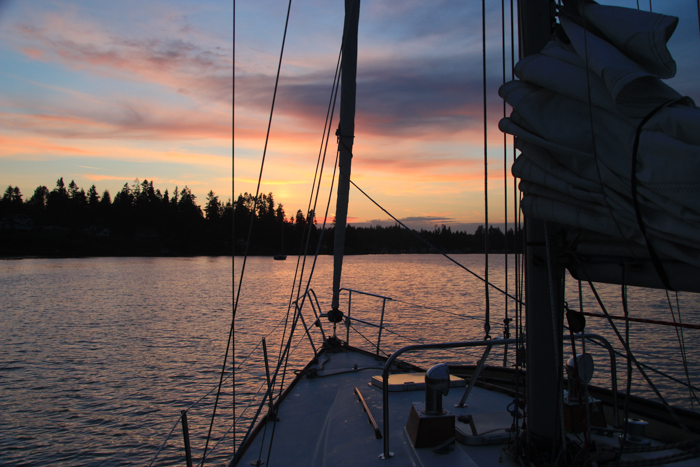
At anchor in Kingston
Day 2 (Friday) – Kingston to San Juans
Friday was the big day to ride the spring tides all the way to the San Juans. The spring tides are the name for a big tidal swing which happens twice a month around the new moon and full moon phases. They happen year-round, so I’m not sure why they’re called spring tides except that the spring ones may be slightly bigger (but from what I can tell it’s a pretty inconsequential difference).
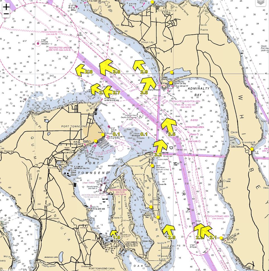
Current at Port Townsend at noon on Friday.
I had planned the timing to hit Port Townsend close to peak ebb, which would give us a 2-3 knot push. We started out from Kingston with a nice light south wind and got in what ended up being the only downwind sailing of our trip (only 2 or 3 hours of it!). The wind switched north approaching Port Townsend in some mild fog (USCG was broadcasting visibility notices for Admiralty Inlet).
The north wind lightened to barely 4 kts so we started motor sailing, hitting a peak of 10.2 knots at only 60% throttle due to the strong north current!
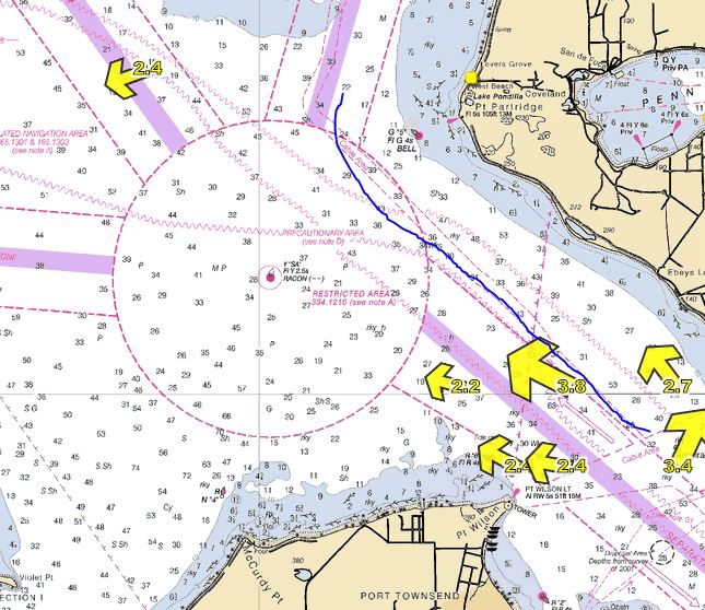
Our route in blue, up the east side of the turning circle
Approaching the turning circle north-east of Point Wilson, I spotted dark, slightly white-capped cresting waves – we were headed for some nasty looking tide rips. I made an “all crew life jackets on” call. As we motor sailed into the tide rip, which appeared to span the entire channel, the waves grew to 3-4 feet, coming from all directions. This was my first time experiencing what people call “square waves.” There was no wind to generate the waves, so our raised mainsail was flopping a bit but I still preferred it up for some stabilizing effect.
The boat pitched and rolled into the ugly dark waves for only about 20-30 minutes, but we all exited that area feeling queasy and slightly seasick. The direction of the waves was constantly changing, like we were in a cauldron of angry seas. I tried different directions to hit the closely spaced waves bow on, water splashing onto the deck as the bow rode down each sharp wave crest. Eventually I aimed towards the shore on the eastern edge of the turning circle, which seemed a little less tumultuous.
I asked Natalie to go below to grab my GoPro so I could get some video, but she refused to go below with the boat being tossed around like it was. Probably a good call, but I still would’ve liked some decent video. : )
In retrospect I suspect planning to go past Port Townsend at peak ebb was a mistake. It gave us the speed to get to the San Juans quickly, but slack would’ve been better for the tide rips.
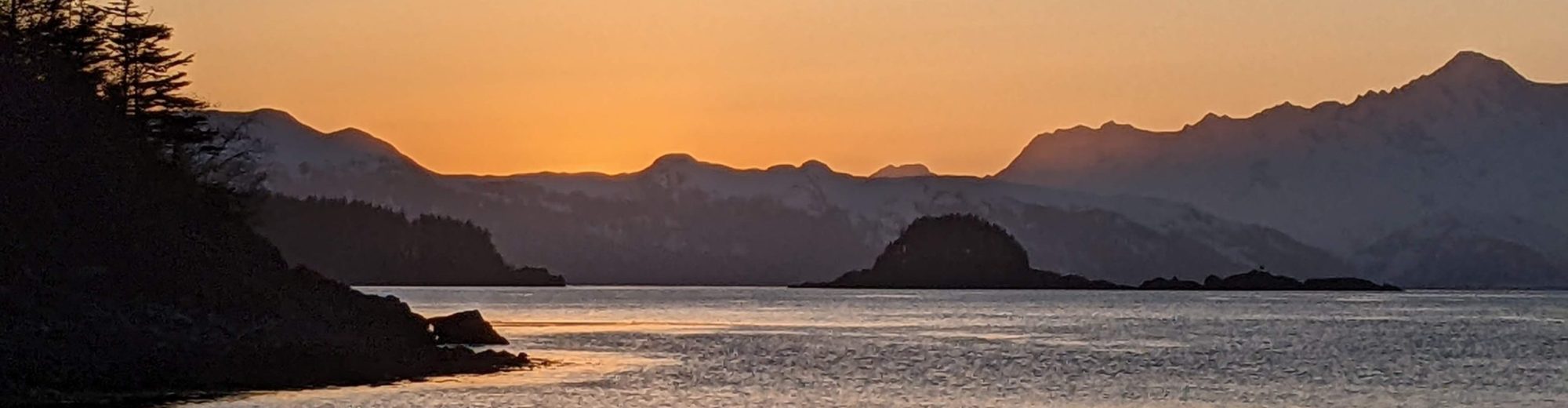
The rest of the passage to the San Juans went smoothly although we were tired out from the briefly rough seas. For Friday night we anchored at Davis Bay off Decatur Head (west of James Island).
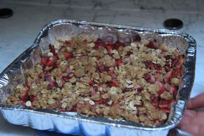
Strawberry rhubarb crumble dessert Natalie made
At anchor at Decatur Island
Read more in Part 2.