We’ve been moving fast (relative to our usual pace) in the last week. After a quick provisioning stop in Port McNeill, we had a southeasterly wind forecast for Saturday May 18. So we decided to skip the Broughtons and use this wind to sail downwind and make miles towards the Central Coast.
We were a bit unsure about the forecast though – Canada said SE 20-25 and the ECMWF (in Windy) said SE 15-25 with gusts to 28. 15-20 would be great, but 25-28 can make some pretty rough, close spaced waves in a strait, and we’d be doing most of this with wind against current. The ebb ends at 9am now and the flood runs 9am-3pm. The wind was forecasted to run only until 4pm, so most of our southeast wind would be opposing the flood current (we did start at 6:30am though to catch as much ebb as possible out of Port McNeill).
We couldn’t find any accounts of people sailing Q Strait in a southeasterly (NW wind predominates in the summer), and one of our guidebooks warned that winter easterly systems could be dangerous (but it’s spring now, and those presumably were stronger systems). Queen Charlotte Strait has very complex currents and underwater topology, not to mention numerous rocks to dodge.
Anyway, all our worrying was probably for nothing, because we ended up having a great sail. The wind was SE/ESE 15-22, mostly less than forecast, with occasional light periods (SE 9-12). And the day was sunny with great visibility – a rare but fortunate condition for a southeasterly. I’d hand the forecasting win to the ECMWF once again, although its gust forecast was misleading this time.

We did have some washing machine waves in tide rip areas where 2 knots of current was running against 20 kts of wind. But these periods were brief, only about a mile through the narrowest portion of the passes (near the Jeanette Islands). We took Miller Passage, east of Ripple Passage, because it worked well for our gybe line and also because it’s supposed to have the lowest current. When we weren’t in the tight pass areas, we only had about 0.5-1.0 kts opposing current, which isn’t too bad downwind. We’re on a full moon / spring tides currently.
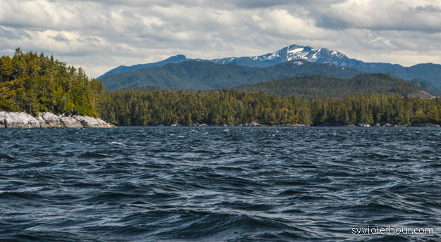
Skull Cove
We were excited to visit a new anchorage, Skull Cove, around the corner from our usual pre-Cape Caution anchorage Miles Inlet. Skull Cove is super scenic, with a peakaboo view to the Strait in the south corner. No other boats were here, so it got very quiet once the wind stopped blowing.
The only sound was that of all the birds there, some making quite a show. One little bird was annoyed with a large hawk perched at the top of a tree (perhaps near the little bird’s nest) and was hopping around squawking at the hawk (which was 5 times its size). The hawk just ignored it, sitting there for 30 minutes as the smaller bird flew circles around its head.

Skull Cove has a bit of a narrow entrance, but no more difficult than Miles Inlet. It’s well protected from wave fetch, but not from southeast wind – we still had 10 gusting 20 in the anchorage when the strait was at ESE 20. This was no problem – however I wouldn’t go here in a bigger southeasterly.
Central Coast is the Best Coast
Starting with Skull Cove I started to notice the changing scenery that I love so much about the Central Coast (which is north of Cape Caution). The trees get scraggly, with dripping Old Man’s Beard (moss) hanging from them. Tidal swings start getting larger (14 feet) and big granite boulders line the perimeter of the anchorages. And there are few people and little evidence of civilization, eagles and birds being a more present feature than boats.

Once we passed north of Johnstone we realized we’re back into cruising grounds where most of the other boats are rushing to Alaska, skipping over all the anchorages that aren’t conveniently located on the highway to Alaska (the conventional Inside Passage route). Very few boats are visiting the other anchorages, and we haven’t seen a single sailboat sailing since Johnstone Strait. On windy days, other sailboats are even motoring downwind in 15 knots.
There’s great sailing to be had here though, as long as you’re not trying to motor to a schedule, doing 80 mile days. I realized yesterday that we’ve only motored about 80 nautical miles since leaving Seattle a month and a half ago (going by the engine hours log I track). That’s pretty crazy because it means we’ve sailed the remaining ~500 miles (not straight-line distance – we visited Desolation Sound and other places). And we’re not even the best sailors. Heck, we can’t even figure out how to rig a whisker pole properly.
Rounding Cape Caution
Our low motoring streak was broken a bit going around Cape Caution. We find the Cape is always a very tough place to sail around. This was our third time, and every time the winds have always been light. Despite a forecast of NW 10-20, we had W 6-9 most of the way, and some periods of 0-3. We did manage to sail about half the distance, but that still means 3 hours motoring. On the upside, it was a beautiful sunny day, and the swell state around Cape Caution was quite good.
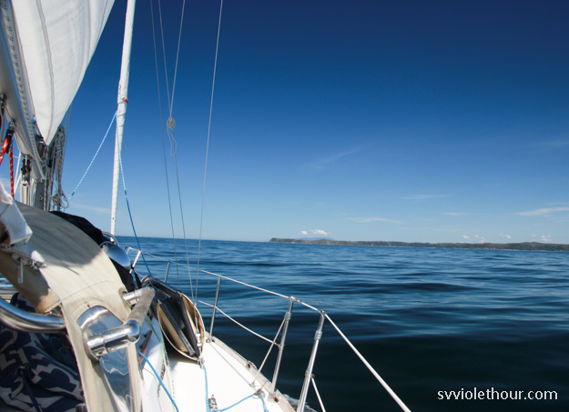
Cape Caution in sight! No wind though. 🙁
I was reminded a big reason why we don’t like sailing in ocean swell is it destroys our ability to do light wind sailing. On flat water in 5-6 knots of breeze, we can sail upwind at 3-4 knots – not too bad – or downwind at about 3 knots. In 3-6 foot swell (with coastal interactions – so somewhat confused) and 5-6 knots of wind, we can’t really sail at all – the rolling of the swell knocks the wind out of the sails, slatting the main back and forth maddeningly. In 7-9 knots of wind we can stop the rolling and make progress upwind, but downwind is still very difficult.
In ocean swell we really need 15 knots minimum to sail efficiently dead downwind. The net result of this is that sailability actually decreases in the ocean, because the sailable wind range is narrowed a bit.
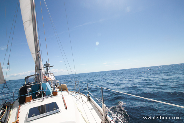
Finally a bit of wind. Nothing but Pacific Ocean to the west.
Fury Cove
We ended our Cape Caution rounding in Fury Cove, a very popular anchorage because of its beach and convenient location before/after a Cape Caution transit. There were 9 motorboats and one other sailboat! We all fit fine, but I was surprised to see such a skew – south of Johnstone it seems like the sailboat to motorboat ratio is usually around 1 to 1. But last year we noticed this changes big time in the northern regions – in April and May there are far more powerboats than sailboats – probably 3 times as many.
I’m not sure why this is – do sailboats not venture past Johnstone Strait? I know many that do, but perhaps motorboats are over-represented in the early months because more of them are going to Alaska. But why would the sailboats that are going north wait longer than the powerboats? This is boggling to me because the sailing is far better up here in the early months – when there’s a chance of southerlies. If anything it should be the reverse – sailors heading north before the motorboats, to catch the ideal winds.
However motorboats also make faster progress – even a short 3 hour day for them is often a whole day of sailing for us. So that could explain why more of them reach further north earlier than sailboats – to reach the Central Coast at the same time as the motorboats, a sailboat needs at least a one month head start.
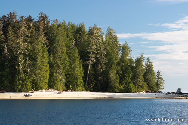
Fury Cove to Pruth Bay, Calvert Island
From Fury Cove, we moved on to Pruth Bay, easily our favorite spot on the Central Coast. The sail up Fitz Hugh Sound was a tricky one. Although we had a forecast of S 10-20, instead the wind was from the north and west (the south forecast was wrong – it came from Canada rather than ECMWF).
An interesting phenomenon of Fitz Hugh Sound is that north or northwest wind in Hecate or Queen Charlotte Sound reaches it in all sorts of directions – at the southern end it can be west or southwest, and as we sailed north it shifted more and more to the nose (on the bow). It also funnels through Kwakshuma Channel, where we were headed, so you get a nearly perpetual lift (improving wind angle when upwind) as you approach the channel.

We were upwind close-hauled on every point of this course. Very counter-intuitive wind directions!
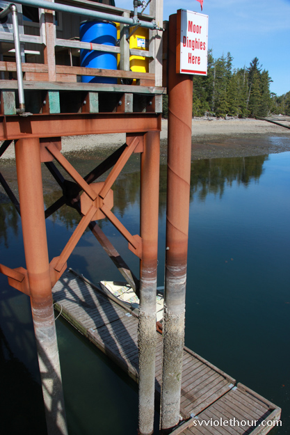
Big tidal swings here! 14 feet or so.
Looking Forward
We’re staying at Pruth Bay for 3 or 4 days before relocating for a northwesterly gale on Friday (30-40 kts on the strait). The Central Coast is probably our favorite cruising ground in all of BC. So we’ll spend at least two weeks here, stopping at Shearwater, before heading south to go around Vancouver Island.

